
tcpGPS
Creating GIS templates - GPS v2
11.1 Creating GIS Templates
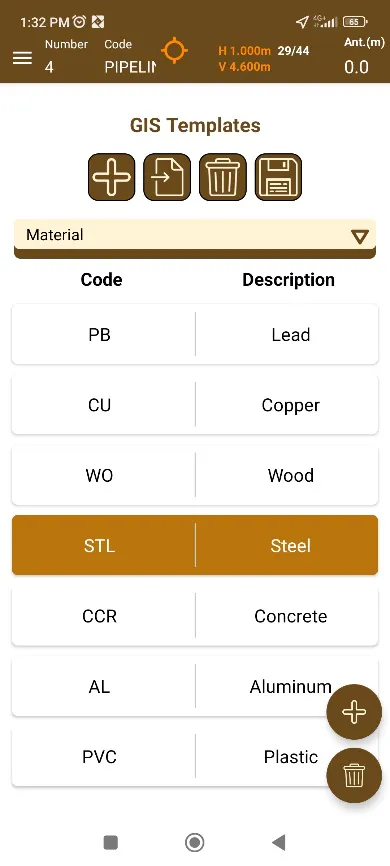
Templates are customizable and reusable elements that allow the user to select convenient attributes in a list. They are shared between all projects.
 |
|---|
Figura 104. Editing GIS templates |
Upper buttons control the existing templates and allow the user to import or create new ones.
 Creates a new template, it'll ask for a unique name for it.
 Deletes an existing template.
 Import files with the extension CSV.
Code;Description
WO;Wood
STL;Steel
...
Press the save button to confirm the changes and save them permanently.
The floating buttons on the lower right allows adding or deleting entries to the selected template.
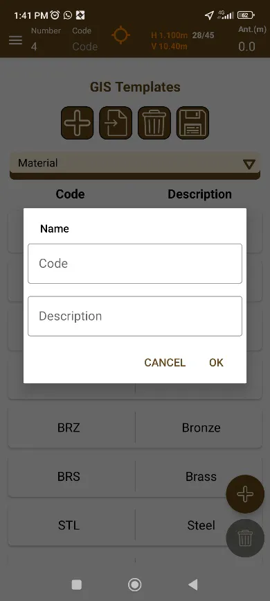
When clicking on the  add button, a dialog to enter the code and description values will appear.
 |
|---|
Figura 105. Adding a new entry to the current template |
It is also possible add or remove values from templates imported as CSV documents.