
tcpGPS
Add and edit issues - GPS v2
15.1 Add and Edit Issues
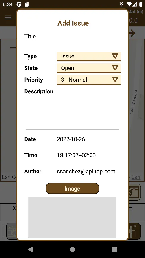
To add an BCF Issue, press the  at the Points Stake Out, Roads Stake Out and Surveying screens to open the BCF Issue creation Dialog. The following values can be added:
Title: Mandatory. Issue title.
Type: Indicate the Issue type, for information.
Issue
Request
Inquiry
Remark
Fault
State: Indicates the Issue state type, for information.
Open
In Progress
Closed
Reopened
Active
Priority: Indicates the Issue Priority to be able to prioritize tasks.
1- Critical
2- High
3- Normal
4- Low
Description: Optional. Incidence Description.
Date: Current date from the moment that the incidence is created.
Time: Current time from the moment that the incidence is created.
Author: License owner's user's e-mail address.
Image: Required. Image related to the Issue. Can be obtained from the Gallery or straight from the device's Camera. If the image is touched, it will increase in size with zoom.
 |  |
|---|---|
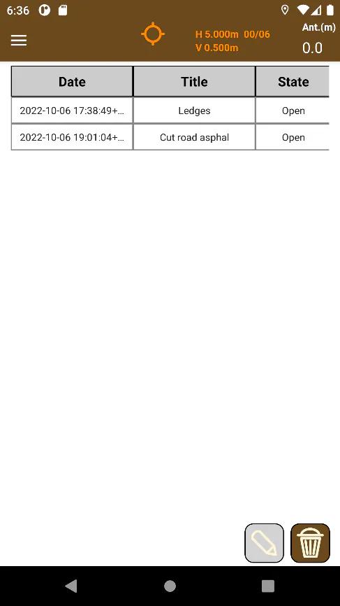
Figure 142. Issue Dialog | Figure 143. Issue List |
It is able to access the Issues List at Edit > Issues in the menu, and in this screen, it is possible to select an Issue, open it to edit it, and as well as deleting one or more Incidences from this screen.