
tcpTunnel CAD
Create project - TNC3
2.1 Create Project
In order to avoid having to remember each of the files making up a project, a type of file to store the links to each of its essential components has been created.
All these components should be kept in the same folder where the project is to be created.
Once the name of the project to be created is entered, a screen is shown where the files making up the project should be selected:
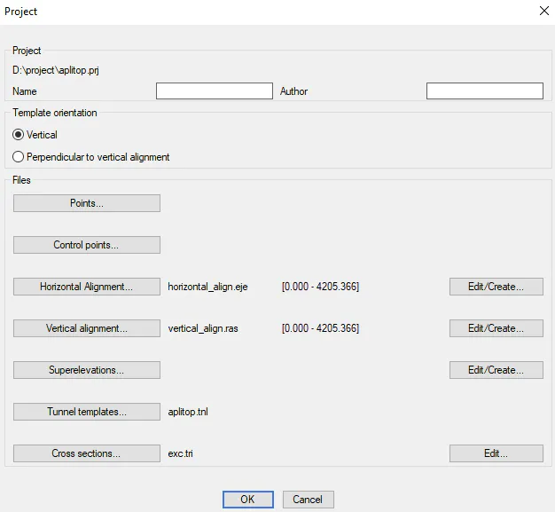
The Points, Control Points, Horizontal Alignment, etc. buttons allow one to select each of the components making up the project. Of all of these, stations and superelevations are not obligatory.
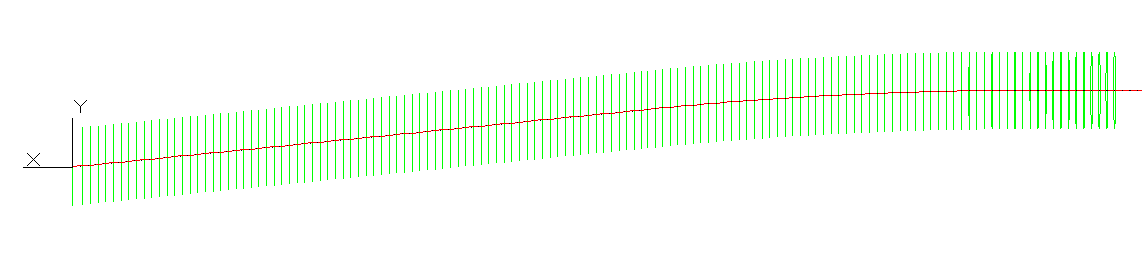
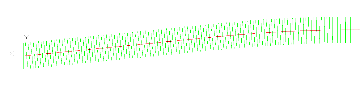
Within Template Orientation, it must be selected if the profiles are created vertical or perpendicular to horizontal alignment. The latest option should be used for tunnel with high slopes.
Vertical
Perpendicular to vertical alignment
Pressing the Edit... buttons open an editor to create or modify the selected item. With the OK button creates the project indicated containing the files selected.
The different kinds of files requested are described below.
Points
The surveying points of the current project are stored in these files in ASCII format. These files have the *.PUN extension (compatible with TcpTunnel TS and TcpMDT) and contain the following data for each point separated by spaces:
Name Type Length No of Decimals Remarks
N Alphanumeric 14 0 Point number
X Numeric 11 3
Y Numeric 11 3
Z Numeric 8 3
Code Alphanumeric 14 -
Files in GSI format may be selected directly. The application will automatically import such files and create the corresponding *.PUN file.
Stations
The surveying stations of the current project are stored in these files in ASCII format. These files have the *.BSE extension (compatible with MDT) and contain the following data for each station separated by spaces:
Name Type Length No of Decimals Remarks
Station Alphanumeric 8 - Station\'s name
X Numeric 11 3
Y Numeric 11 3
Z Numeric 8 3
Code Alphanumeric 14 -
Scala Numeric 9 8
Horizontal Alignments
These files have *.EJE extension and are compatible with TcpTunnel TS and TcpMDT.
The records have the following fields:
Name Type Length No of Decimals Remarks
Station Numeric 11 3 Kilometre point
X Numeric 11 3
Y Numeric 11 3
Azimut Numeric 8 4
Parameter Numeric 9 3 Clothoid section parameter
Radio Numeric 9 3
Vertical Alignments
These files have *.RAS extension and are compatible with TcpTunnel TS and TcpMDT.
The records have the following fields:
Name Type Lenght No of º Decimals Remarks
Station Numeric 11 3 Kilometre point
Height Numeric 8 3 Vertex height
Kv / Radio Numeric 9 3
Tangent Numeric 9 3
Arrow Numeric 9 3
Superelevations
These files have *.PER extension and are compatible with TcpTunnel TS and TcpMDT.
The records have the following fields:
Name Type Length No of Decimals Remaks
Station Numeric 11 3 Kilometer point
Pl Numeric 6 3 Left hand superelevation
Pr Numeric 6 3 Right hand superelevation
Tunnel Templates
These files have *.TNL extension and are compatible with TcpTunnel TS.
Cross-Sections
This kind of file stores the information about measured profiles. It is created from horizontal and vertical alignments, tunnel template and measured points. They have *.TRI extension.
The records have the following fields:
Name Type Lenght No of Decimals Remarks
Station Numeric 11 3 Kilometer point
Offset Numeric 8 3 Point\'s offsert relative to alignment
Height Numeric 8 3 Point\'s height
Number Alphanumeric 16 Number of the measured point