
tcpGPS
Place a local system - GPS v2
8.5 Place a local system
This option is used to apply an offset to an existent local system, allowing to fix the differences between the current coordinates of the reference base and the coordinates of the project.
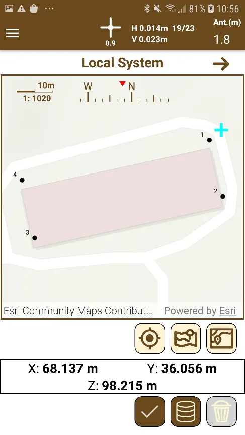 | 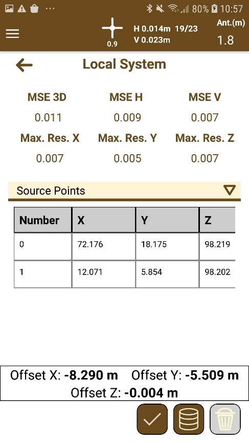 |
|---|---|
Figure 46. Place in local system map | Figure 47. Numeric section of place in local system |
By Menu > Local System > Place the user accesses to the screen for adding these offsets. Selecting a point from the map or using the list of the points contained in the project by clicking on  , the user can start configuring the new offset.
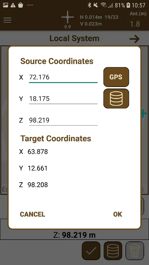 |
|---|
Figure 48. Dialog for pairing origin and target points |
Then, a dialog appears to choose the origin point that will be used to calculate the offset, using the current position of the GPS (button GPS) or the list of points of the project .
When the pair of points is accepted, a green cross will be shown in the map marking the position of the origin point. The user can add as many points as he wants, and the offset will be the average of all these points.
If the user wants to delete any of the pairs, he must only select it in the list of the numeric section and click the button  .
By clicking the button  , the offsets of X, Y and Z coordinates will be stored and applied to the next points the user will survey.
In the information panel at the bottom of the screen the user can check the current position and, if he slides his finger on it to the left, the panel with the calculated offsets will be shown.
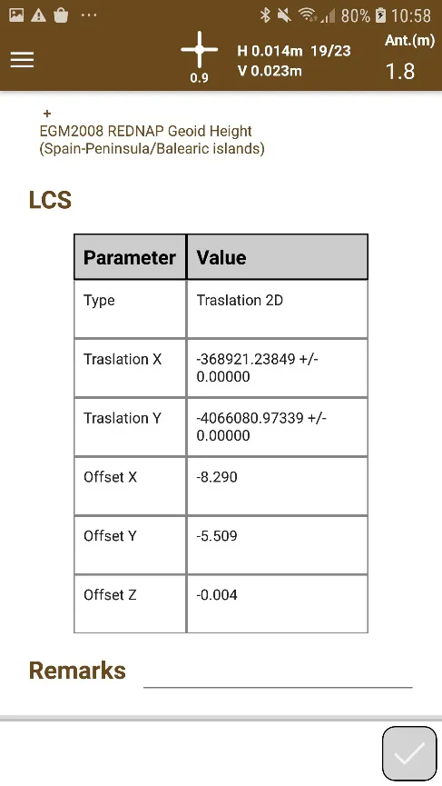 |
|---|
Figure 49. Current offsets to be applied to points |