
tcpTunnel
Road surface - TNL5
8.5 Road Surface
Allows user to set out points over horizontal alignment entering a Station and an Offset. If there is a vertical alignment file in the project, it will be used to calculate the height of the point. Optionally, the user can enter a Thickness value, positive or negative, in addition to the calculated height.
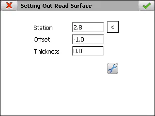
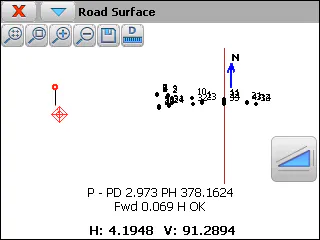
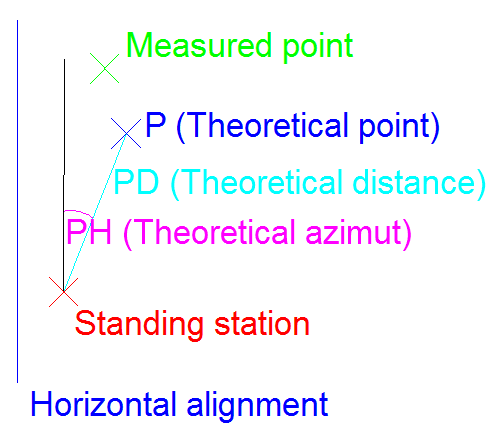
The setting out is performed in the same way as in the setting out Points option, appearing in this same chapter.