Support
How to create a CRS for Finland?
Requirements
TcpGPS v2.9.0+
Objective
Create a Coordinate Reference System, for Finland, with the new geodesy module included in version 2.9 of TcpGPS.
Details
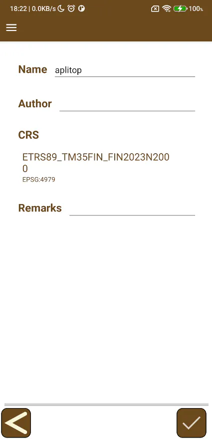
Create a new project.
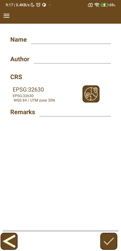
Tap on the button on the right of the CRS (Coordinate Reference System) label, to open the screen of predefined coordinate systems.
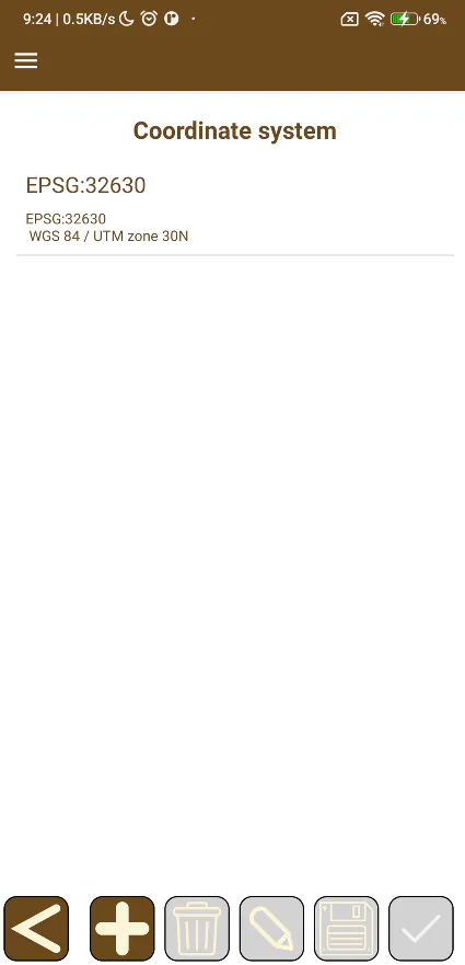
Tap on the + button to open the screen where the parameters of a new coordinate system are selected.
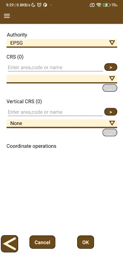
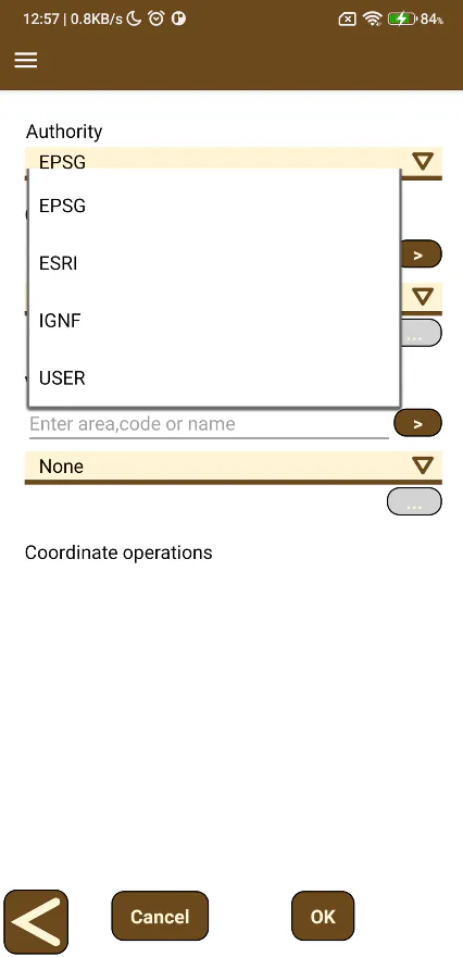
Select USER as Authority.
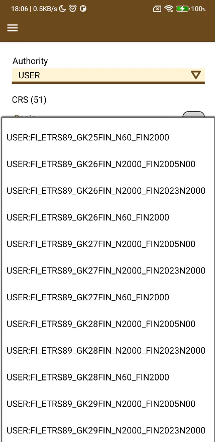
Open the list under the CRS label and select one of the following CRS with the USER:FI_ETRS89 prefix. The geoid model used for each CRS appears as a suffix in its name:
N60_FIN2000: for geoid FIN2000 and vertical CRS N60.
N2000_FIN2005N00: for geoid FIN2005N00 and vertical CRS N2000.
N60_FIN2023N2000: for geoid FIN2023N2000 and vertical CRS N2000.
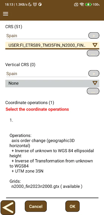
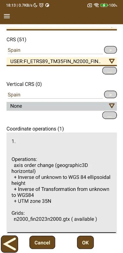
In the Coordinate operations list, select the one and only available option and click the OK button.
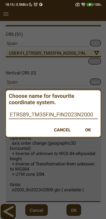
Enter a name for the coordinate system and tap the OK button.
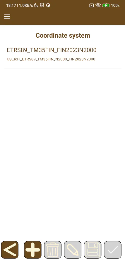
The coordinate system will be available in the coordinate system list.
Select the coordinate system and tap the OK button.
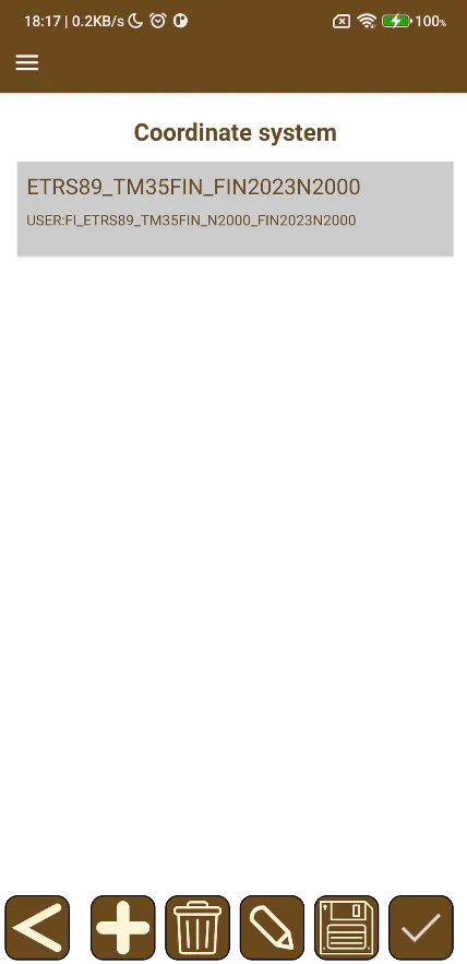
The project will be configured with the new coordinate system.