tcpMDT
Creating traverse - MDT26
To perform this exercise, it is necessary to have the Surveying Module.
In tutorial 15, Survey Calculations, the steps have been taken to calculate some provisional coordinates for the surveying stations. These coordinates are now going to be offset by calculating a traverse. In this case, the most suitable aspect would be to use a network to calculate all the work, but it is also possible to calculate traverses by zones.
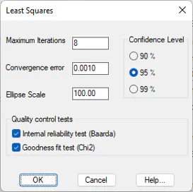
Firstly, go to Utilities > Configuration > Surveying > Least Squares and enable the quality control tests, Baarda and Chi2 and leave the other parameters with the default values.
Then execute Surveying > Open (or Surveying> Surveying> Open) and select the file NETWORK.LEV in the directory C:\MDT26_Projects\Tutorial16.
16.1 Creating Traverse
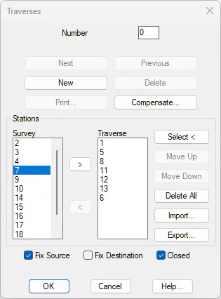
Enter Surveying > Traverses. On the Survey station list, double click stations 1, 5, 8, 11, 12, 13 and 6 in this order in such a way as to complete the stations list. You will observe that the box Fix Source has enabled automatically. Also enable the Closed box and press the Compensate button.
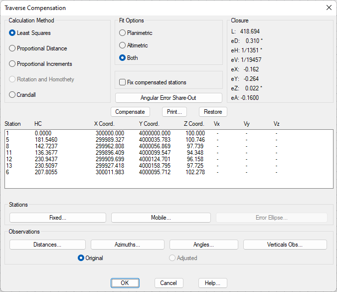
A new dialog will now appear in which we will find the provisional coordinates for the stations and the closing error at X,Y,Z and angle. Furthermore, the horizontal and vertical errors eH and eV are shown with regard to the length of the traverse.