
tcpTunnel Scan
Points - TSCAN1
4.2 Points
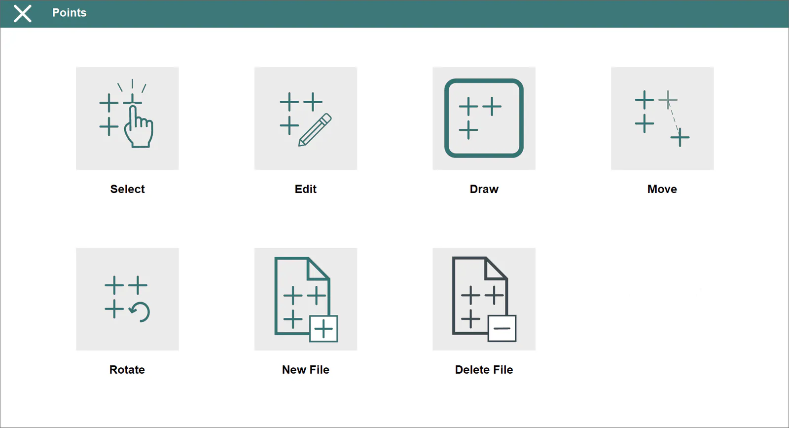
All surveying points of the current project are stored in these files in ASCII format. These files have the *.PUN extension (compatible with TcpMDT and TcpTunnel CAD) and contain the following data for each point:
A points file is automatically created whenever a project is created. It has the same name as the project and has the aforementioned extension.
The program allows for repeated points, as well as points having alphanumeric numbering.
The field separator can be a space, a tab or a comma.
The names and codes cannot include blank spaces.
Select
Allows one to select a points file from already existing files.
Edit
Allows one to view and modify the current file's records.
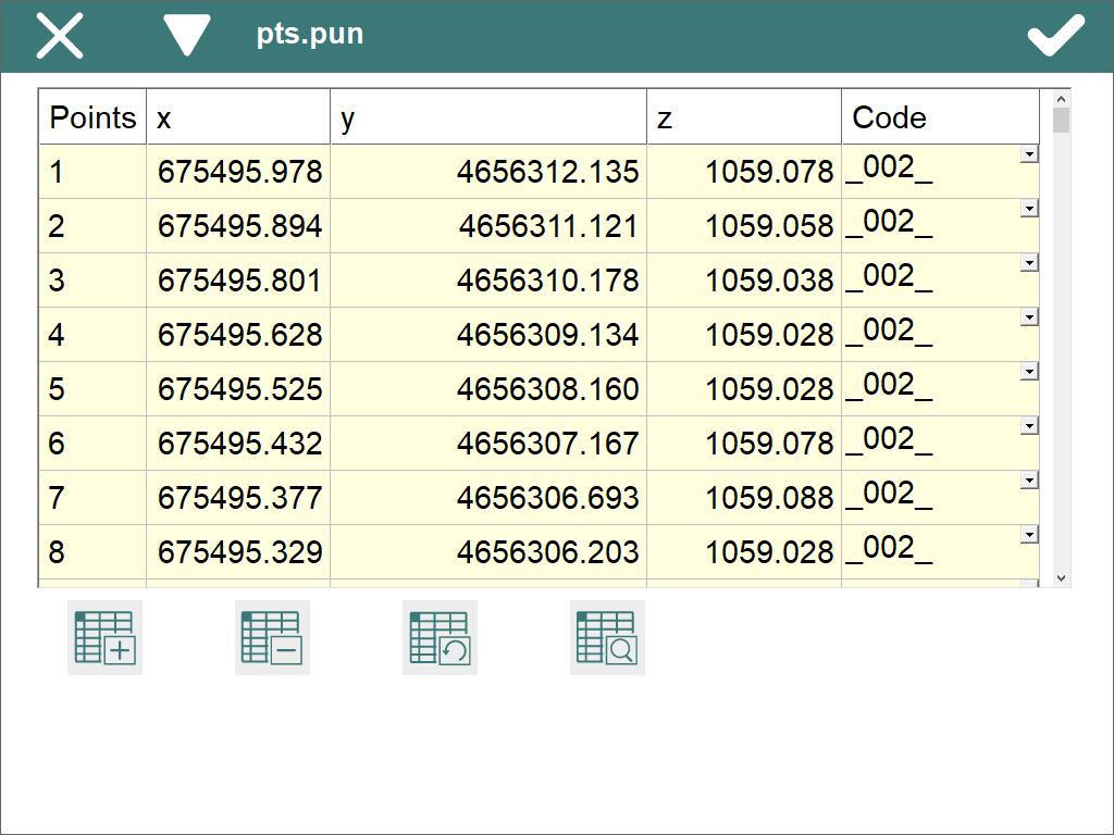
The records have the following fields:
Name Type Length No. of Decimals Remarks
  N       Alphanumeric      256                0               Point number

  X         Numeric          11                3

  Y         Numeric          11                3

  Z         Numeric          8                 3

 Code     Alphanumeric      256               \-                 Optional
Apart from the button-based options, other options are available through this window\'s title bar menu:
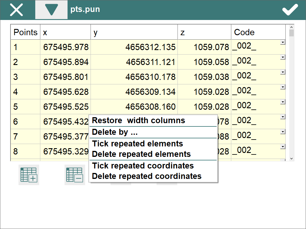
The Delete by... option shows a new dialog where the user can select the items to be deleted. The selection can be made indicating a range of numbers (Select by Numbers) or by entering a code (Select by Code)
The other options allow user to restore the default width of columns and locate and remove points that have the same number or coordinates.
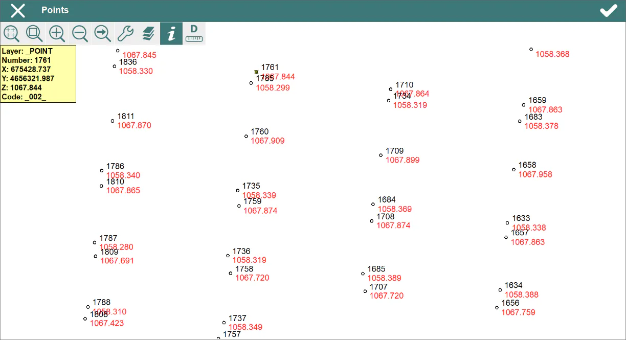
Draw
Allows one to draw the current file's points, including break lines should they exist.
Move
This tool enables one to move a set of previously selected points to some specific coordinates.
The points one wishes to displace should first be selected. They can be selected by either indicating a range of numbers (Selection by Numbers) or entering a code (Selection by Code).
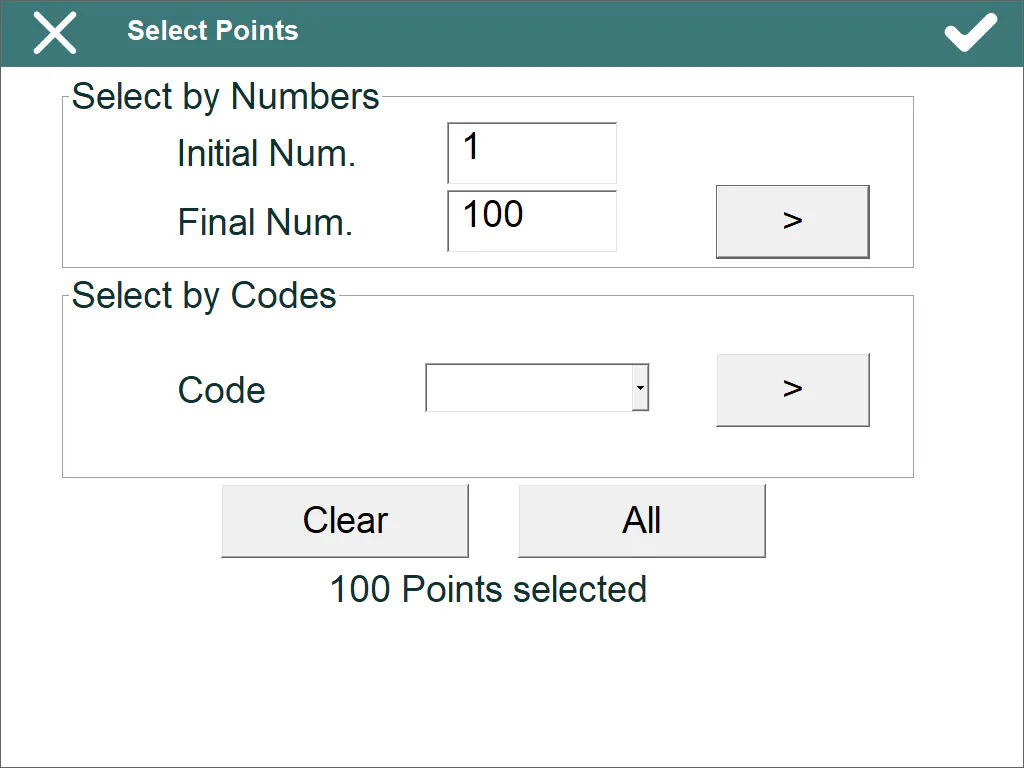
The following data is then requested:
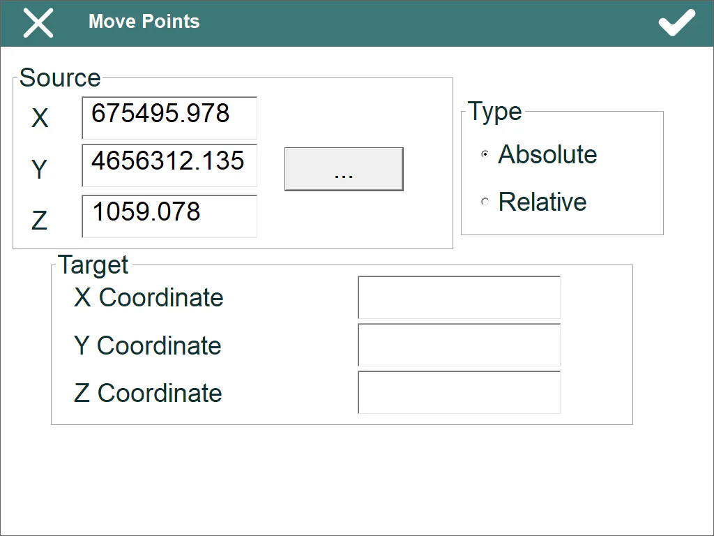
By coordinates
By offsets
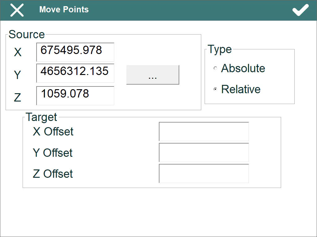
Source: *X, Y, Z* coordinates of the base point. The  button allows one to select the point in different ways.
Target: The destination coordinates should be specified depending on the source set, as should the kind of movement selected.
Type: One has to select either Absolute or Relative movement. Depending on the selection made, either Coordinates or Offset will appear in the Target box.
Rotate
This tool produces a rotation of a specific angle for the points selected.
A window appears where the points one wishes to rotate should be selected when this command is run.
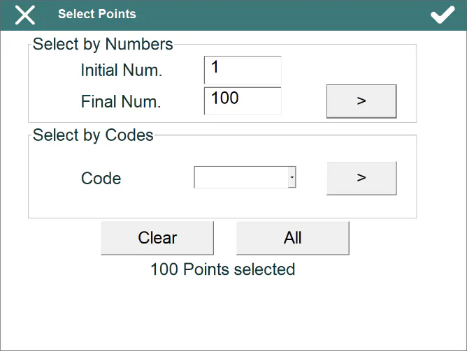
Once the points are selected, the following data is requested:
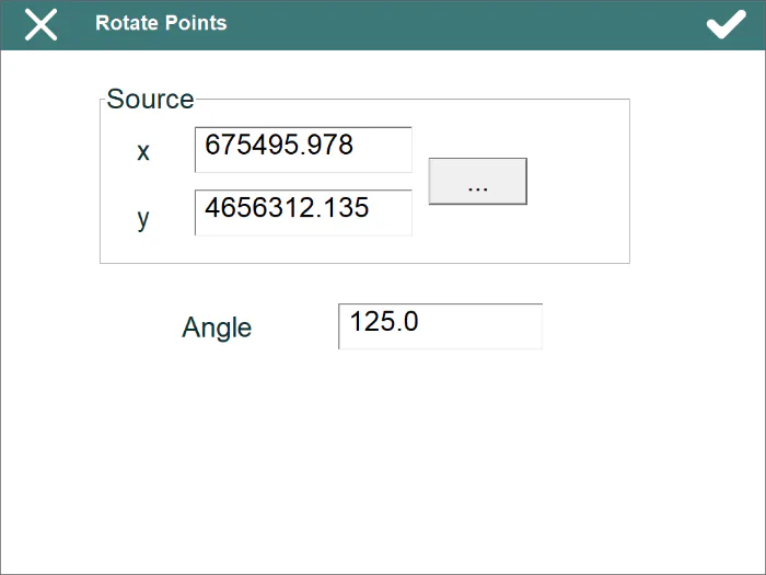
Source: The base points coordinates should be entered either manually or by clicking on the button.
Angle: Indicates the angle of rotation for the points selected.
New File
Creates an empty points file and associates it with the active project.
Delete File
Deletes a points file from the field data recorder. If the file selected belongs to the active project, the link to the project is also deleted.