
tcpTunnel Scan
Superelevations - TSCAN1
4.6 Superelevations
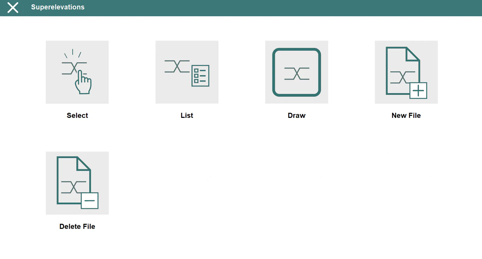
These files contains the superelevations of the project to rotate the tunnel template or to apply to the height when staking out roadbed. They have *.PER extension and are compatible with TcpMDT and TcpTunnel CAD files.
Select
Allows one to select a superelevation file.
List
Allows one to view and modify the current file's records.
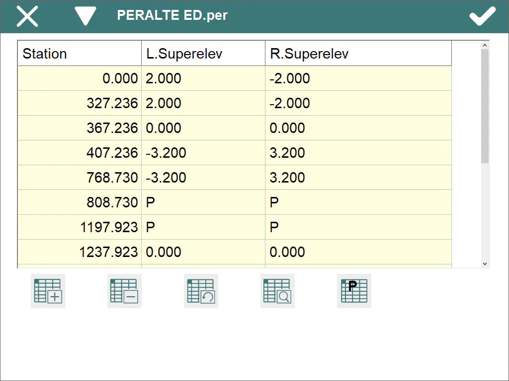 .
The records have the following fields:
Name Type Length No. of Decimals Remarks
Station Numeric 11 3 Kilometer point
 L.S.     Numeric        6                 3            Left-hand superelevation

 R.S.     Numeric        6                 3            Right-hand superelevation
If the value of the right-hand and left-hand side superelevations is P, it indicates that there is pumping. In other words the value of both superelevations is --2.0%.
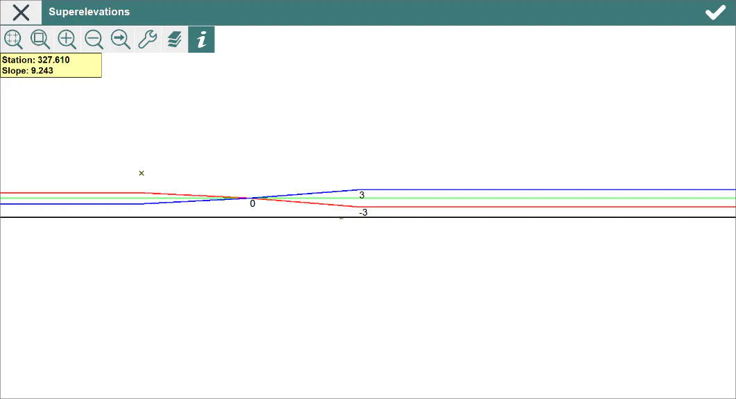
Draw
Shows the graphic of the current superelevation file.
New File
Creates an empty superelevation file.
Delete File
Deletes a superelevation file from the disk. If the file selected belongs to the active project, the link to the project is also deleted.