
tcpTunnel Scan
Scans - TSCAN1
4.8 Scans
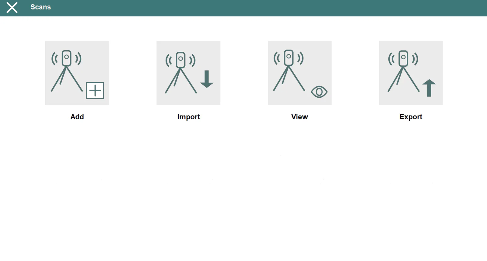
This menu allows one to manage point cloud files with different formats.
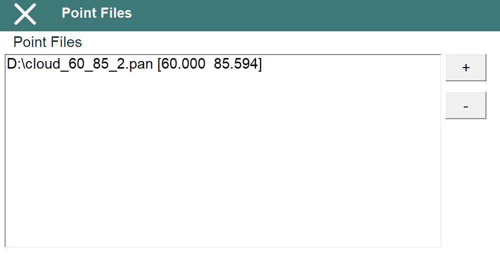
Add / Remove
Allows one add and remove point cloud files from the current project.
Every selected file will be analyze to show the initial and final stations calculated for the point cloud included in it.
Import
Allows to convert and add to the current project the point clouds from several formats, such as LAS, CLR, TXT or PUN.
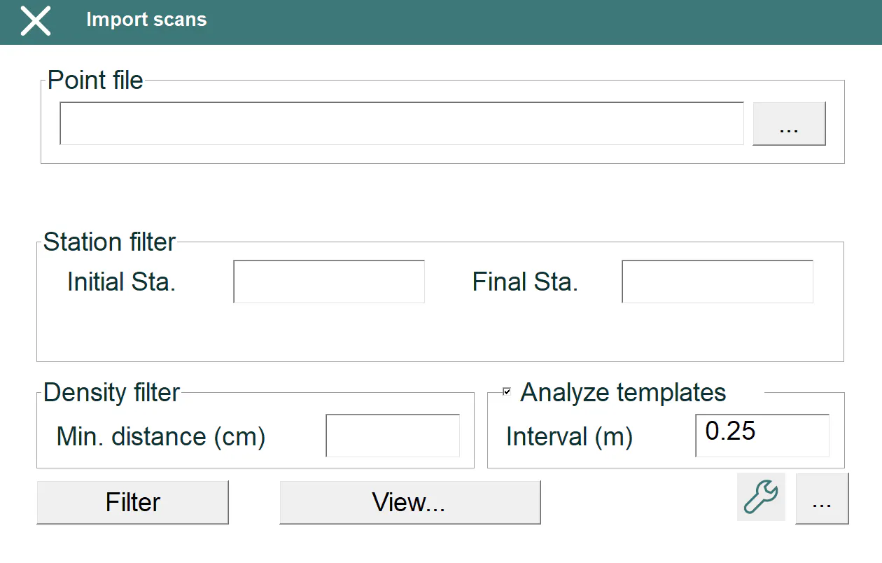
Before using this option, the horizontal and vertical alignment must be selected in order to do the point analysis.
The program will create a file, with PAN extension, for each point file imported. This PAN file will have a smaller size and it will contain information which allows program to speed up the calculations.
After importing and analyzing the file, the program shows the number of points and the initial and final stations of the point cloud, and it will allow to apply the following filters, creating a new file:
Station: It allows to discard the points outside the station range.
Density: It sets up the minimun distance, in centimenters, between points.
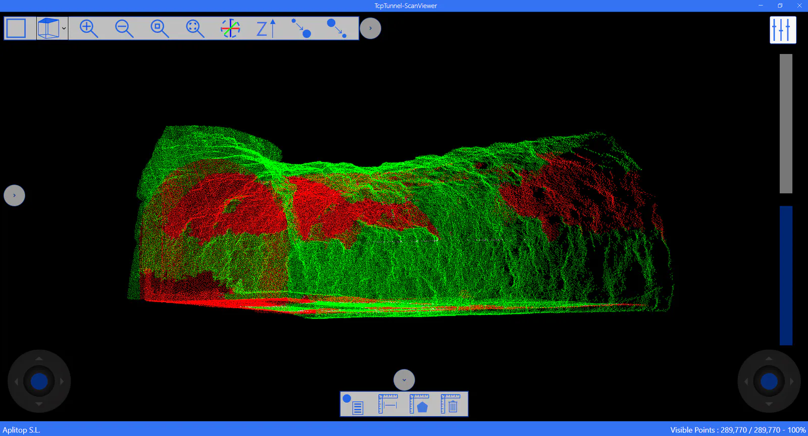
Analyze templates: If a tunnel template file exists in the project, the program analyzes the points regard with the templates, allowing to view the overcut and undercut points of the cloud. By default, the value between tunnel templates is 0.25 meters.
The button View... allows to show at all times the point cloud calculated.
Another option included in this import screen is to access to the instrument setup to, if it's supported, turn on the scanner and read directly the data through WiFi connection. Then, if a network drive has been configured previously, it will be available when selecting the file to import.
View
Allows to show the point clouds include in the current project (read Scan Viewer reference manual for getting detailed information about all its functions).
Export
This option can be used to create a LAS file from a point cloud in PAN format.