
tcpGPS
Editing the base map layer - GPS v2
9.1 Editing the Base Map layer
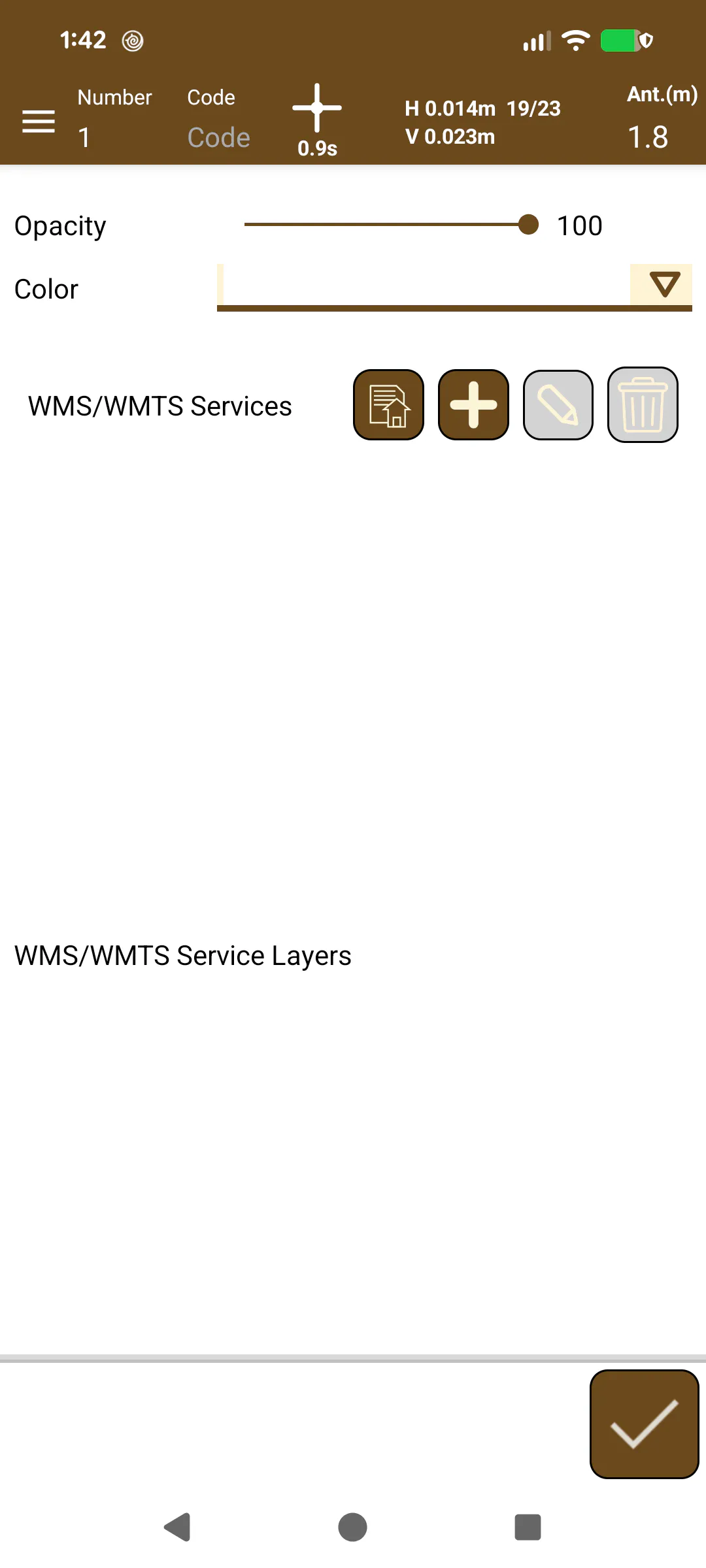
This layer, like the Points layer, is a special layer that is created when a new project is created. Its purpose is to manage the base map that will be presented in the workspace. The properties that you can define here are (Figure 52):
 |
|---|
Figure 52. Editing the Base Map layer |
Opacity: Level of map transparency.
Color: Background color when the map could not be loaded, or its visualization is disabled.
 |  |  |
|---|---|---|
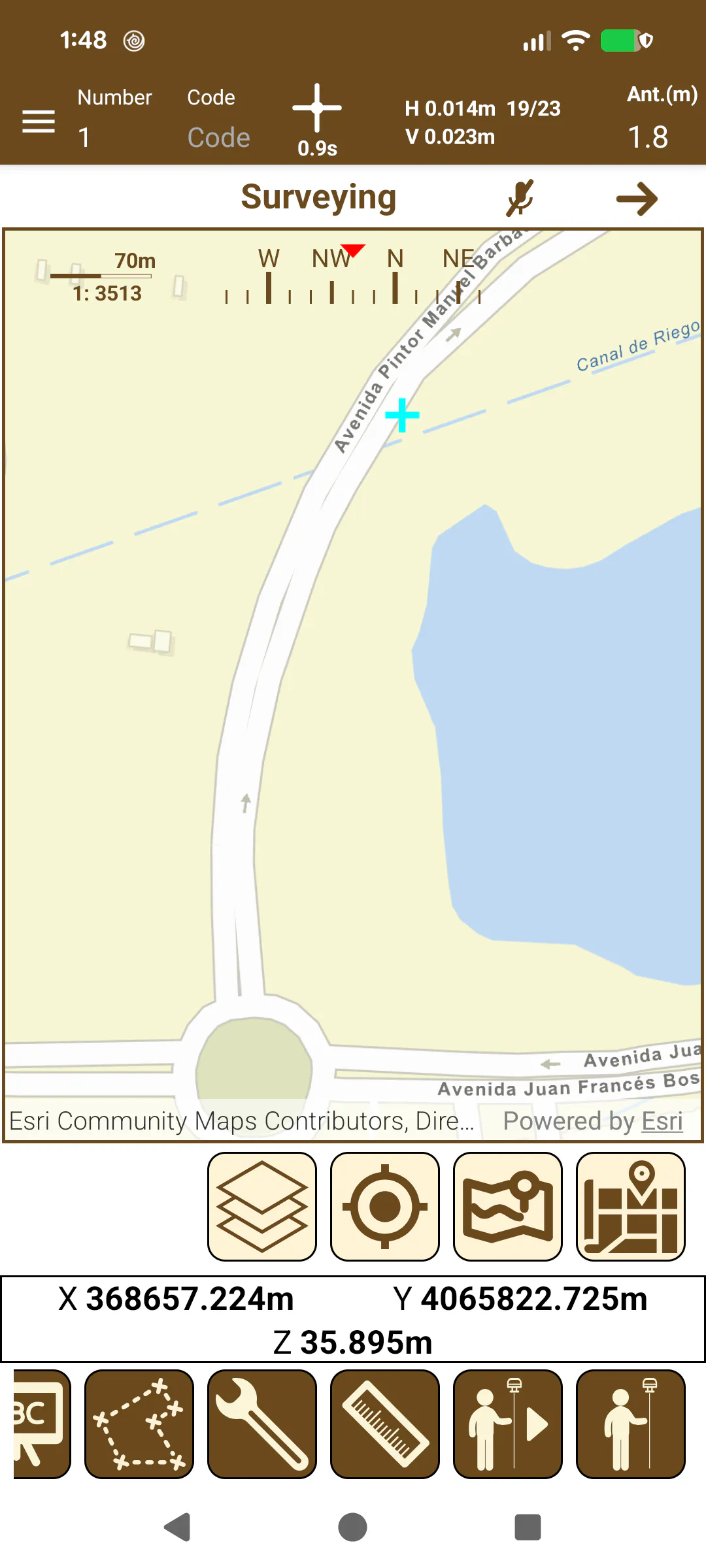
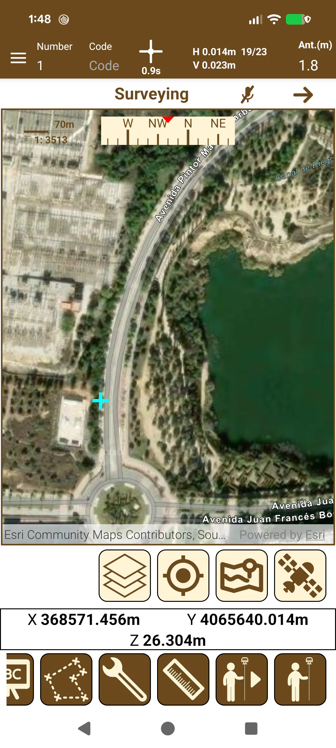
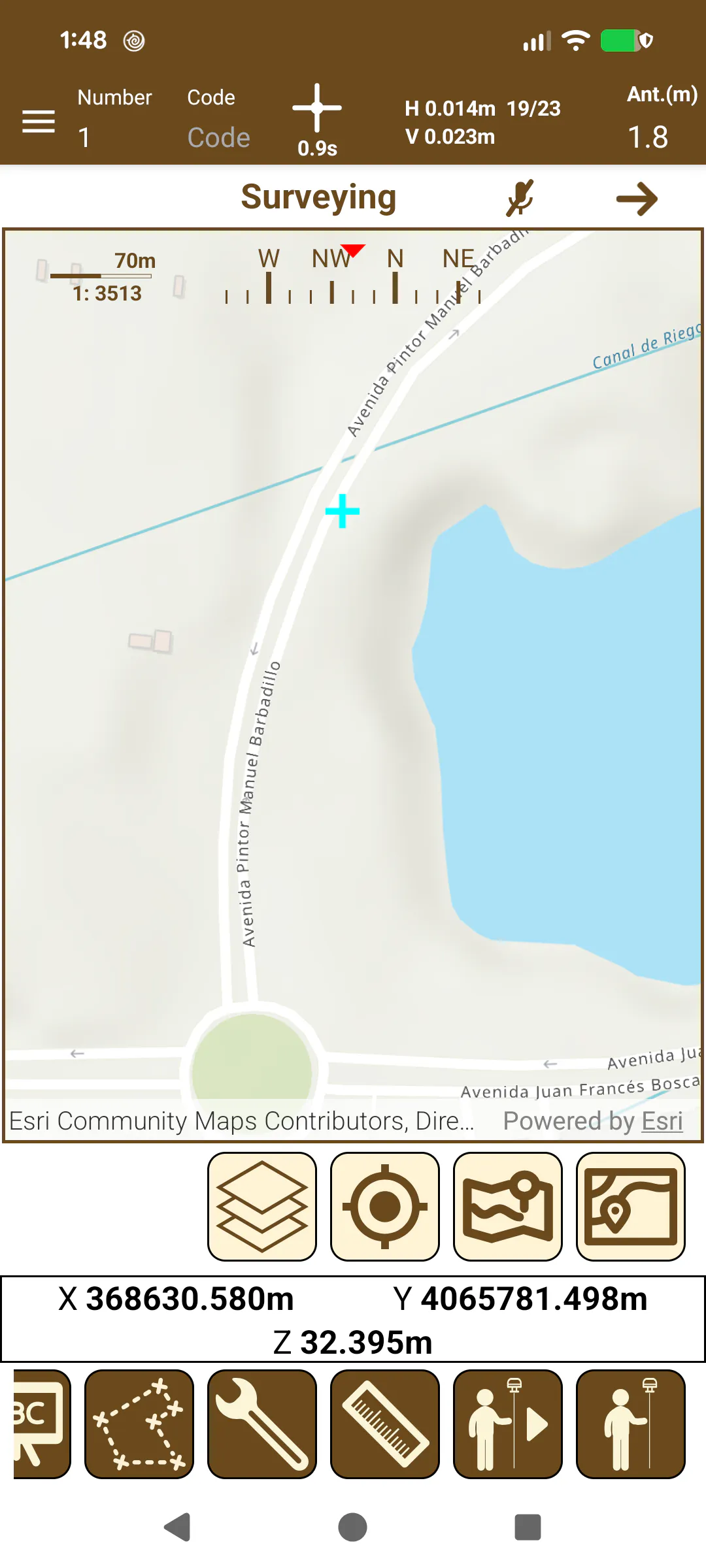
Figure 53. Street map | Figure 54. Satellite map | Figure 55. Topographic map |
Apart from ESRI maps, the user can configure his own base maps using WMS/WMTS services. To do that the following options have been added:
Import WMS/WMTS service: Allow to import a list of WMS/WMTS service from a file containing pairs Name and Service URL, and optionally Username and Password if the WMS/WMTS requires credentials.
Add WMS/WMTS service: Allow to add a WMS/WMTS service manually.
Edit WMS/WMTS service: Allow to modify the WMS/WMTS information.
Delete WMTS service: Remove a WMTS service from the list.