
tcpGPS
Edition of surface layers - GPS v2
9.4 Edition of surface layers
The surface layer manages a 3D surface imported (see Import a surface - GPS v2 ) from a DXF file, that contains 3D face entities (FACE3D), from a LandXML file or from an IFC file version 4.3.
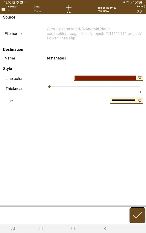
The properties to be configured for this layer are:
Layer name.
Opacity: Level of transparency of the layer.
Color: Line color
Once the layer has been configured, by clicking  the loading of the surface file starts and once it is completed it will return to the list of layers.
 |
|---|
Figure 59. Editing the Surface layer |