
tcpGPS
Set out polylines - GPS v2
14.4 Set Out Polylines
In this case, we work on maps of type DXF, KML / KMZ, GML or shape that contain elements formed by an indeterminate number of points of the polylines or polygons (closed polylines) type and also the polylines and polygons measured in surveying.
When a polyline is selected, this is staked out by edge. The movements shown in the screen are the ones needed to reach the line.
If you want to stake out the vertices of the polyline, you can switch to vertex mode with the button  and back to edge mode with the button
 .
In vertex mode, the vertices corresponding to the points that form it are automatically marked. It takes, by default, the vertex closest to the current one, being able to change the vertex with the buttons 
 .
When you want to store the information of one of the setting out points, press the button  . In this case, since the points of the polyline are not saved as project points, both the polyline vertex information and the setting out point information are stored in vertex mode, and the projected point in the polyline and the setting out point if it is in edge mode.
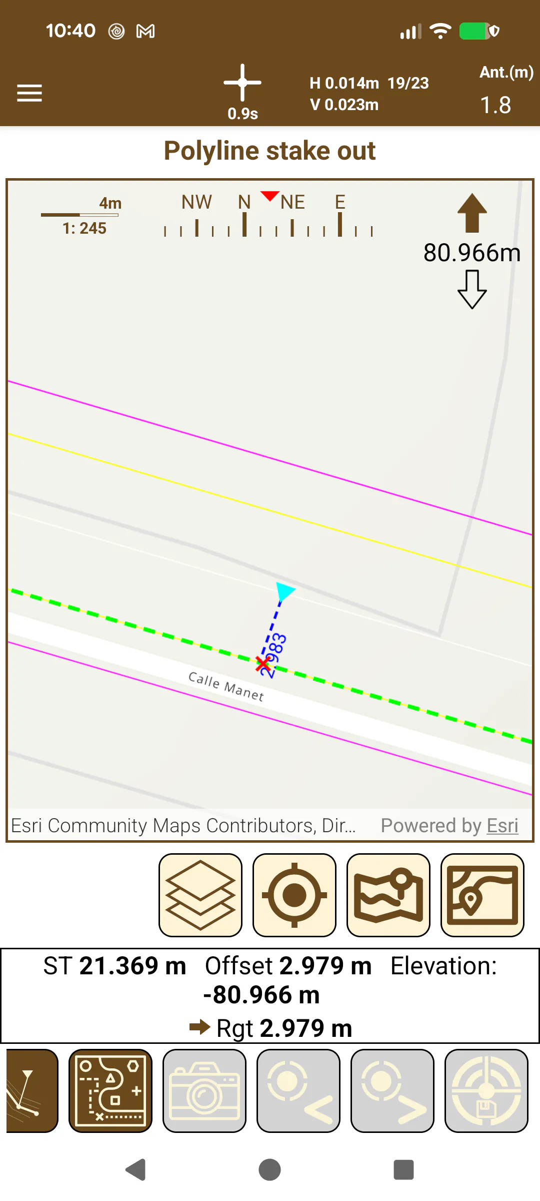 | 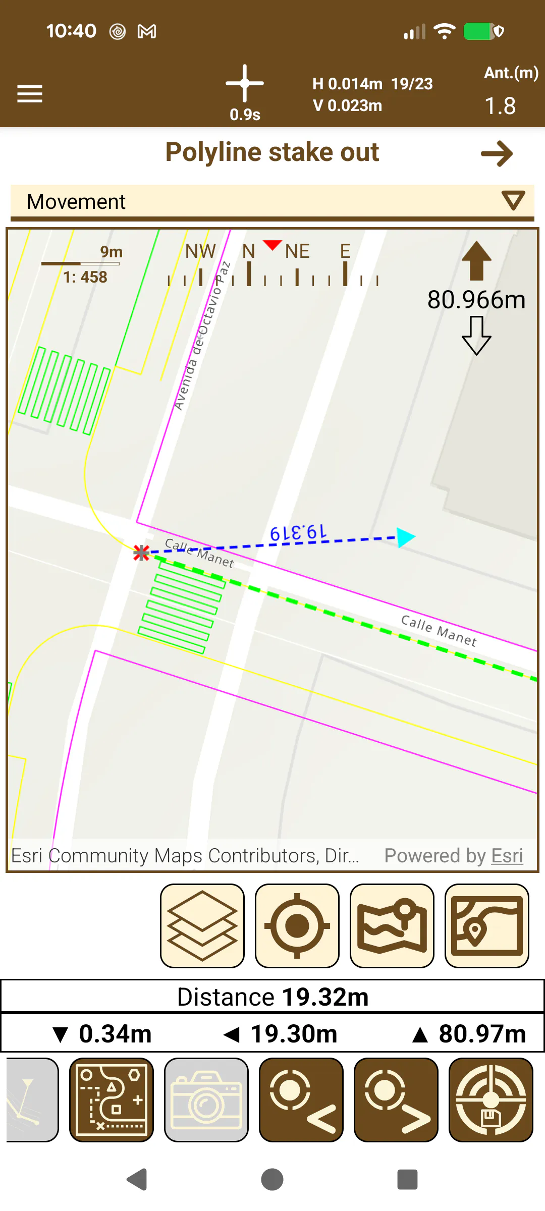 |
|---|---|
Figure 133. Polyline stake out using Edge | Figure 134. Polyline vertex stake out |