
tcpMDT
Google street view - MDT25
23.10 Google Street View
This command allows the user to position themselves at a point and display the selected location in a web viewer with Google Street View, where we can see both the traditional map view and the 3D view.
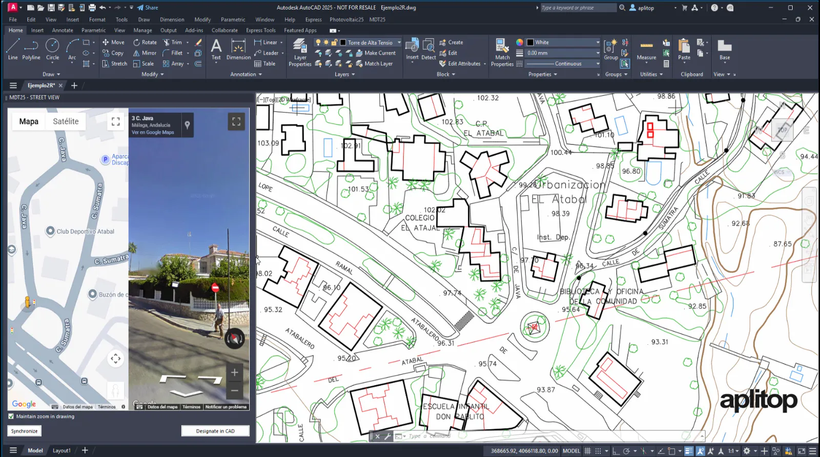
In the viewer panel we can find three controls:
• Maintain zoom in drawing, by default this box is activated, and it tells us that when selecting a new point on the map when synchronizing we keep the same zoom level in the drawing.
• Synchronize, allows you to place the drawing in the same location as the viewer map.
• Designate in the CAD, allows you to select a new point in the drawing and display the new location in the viewer map.