
tcpMDT
Exporting roads - MDT25
19.3 Exporting Roads
Then we are going to export to a file in IFC format a surface and a road, to which we have previously defined a series of roadbed layers.
To do this, we open the file Solera.dwg that we can locate in the folder C:\MDT25_Projects\Tutorial19.
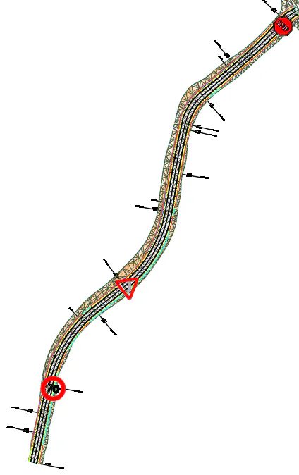
It can be seen how the drawing already has three vertical signs inserted along the road. The procedure for inserting the vertical signs is described in detail in Example 11.
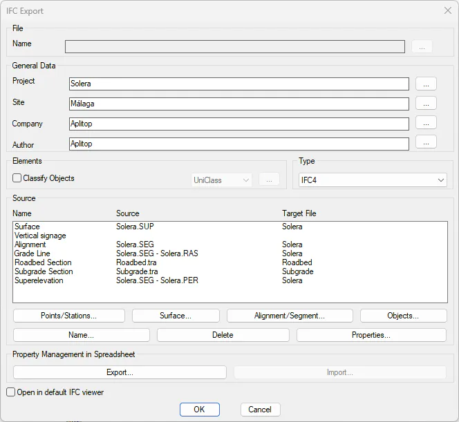
Now we are going to export the information to the BIM model, that is, in this case to the IFC file. To do this, we run the command BIM> Export IFC, and a window will appear with the current surface and traffic signs.
To configure the exporting, we select the same projection and the Center option and the IFC4 export version. Now press the Alignment/Segment button and choose the file solera.seg. Finally, press the OK button and save the information in the solera.ifc file.
Open the file generated with an IFC viewer. You can observe both the terrain and the earthworks carried out, the definition of roadbed layers, etc. Each element has its geometric definition and could also contain properties assigned by the user to automatically calculate measurements and budgets and all kinds of reports.
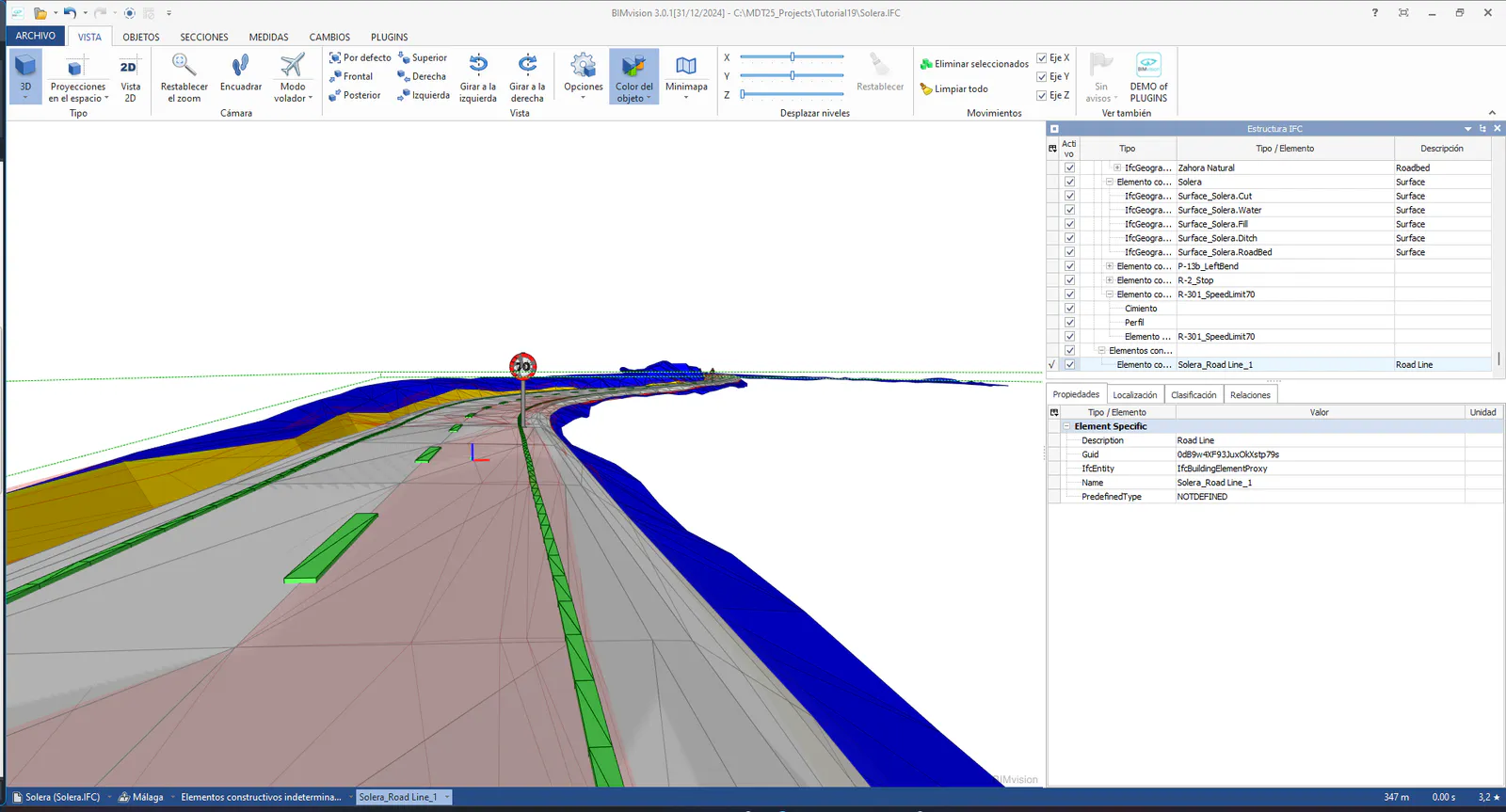
You can also see how both the horizontal signage and the vertical signage inserted in the drawing have been exported.
The horizontal signage was already defined by the segment previously, which can be configured from the Longitudinal Road Markings section in the definition of the Template (Templates> Create/Edit).