tcpMDT
Transforming drawing - MDT25
17.3 Transforming Drawing
As explained previously, the points were collected with a GNSS receiver in Spain in the coordinate system ED50 / UTM 30. To make the conversion of WGS84 coordinates to the projected ED50 coordinates, a datum transformation has been deployed based on a grid file with NTv2 format published by the National Geographic Institute of said country.
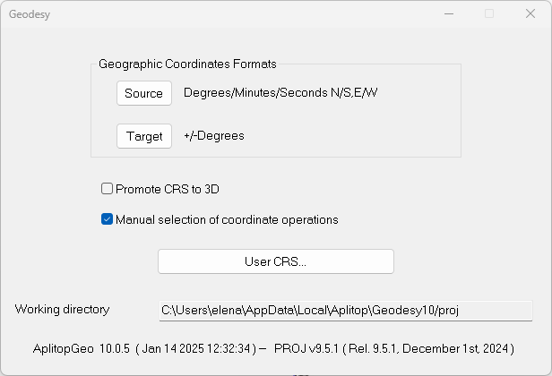
To better control how the coordinate transformation is performed, run Coordinate Systems > Geodesy. In the dialog, enable the Manual Selection of Coordinate Operations option.
Now run the command Coordinate Systems > Convert Drawing. It can be seen that the SRC Origin is identified, since it is associated with the drawing itself.
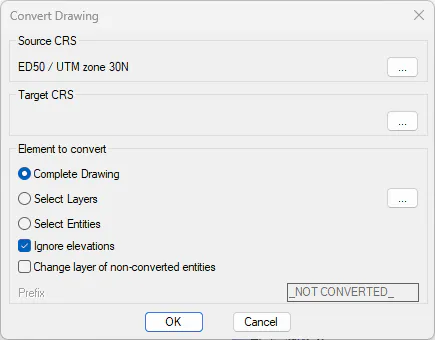
Press the ... in the Destination Coordinate Reference System (Target SRC) box.
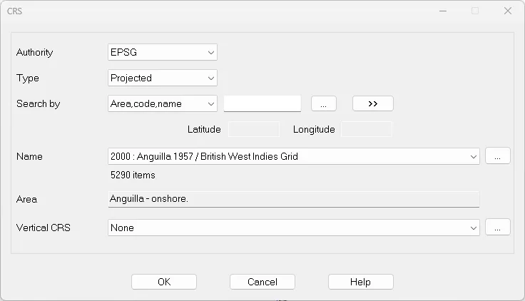
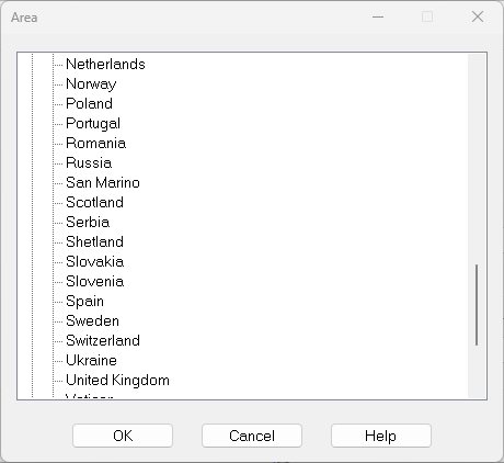
Press the ... and in the Area selection dialog select Europe > Spain and press OK.
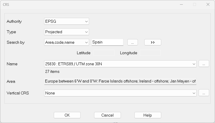
Back to the previous dialog, press the >> button and within the Name list select 25830: ETRS89 / UTM zone 30 N. Press the OK button.
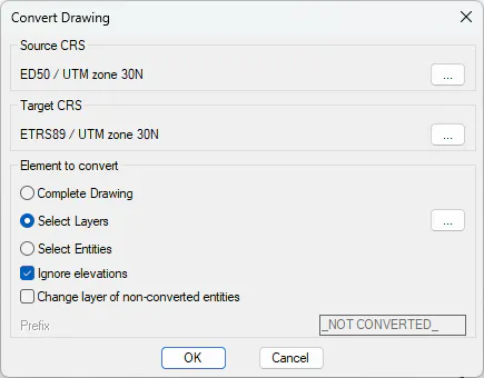
In the Convert Drawing dialog, within the Elements to Convert frame of the conversion dialog, check Select Layers and press the button on the right:
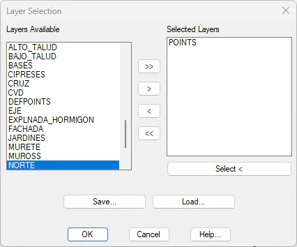
Select the POINTS layer and click OK:
Press OK and in the Coordinate Operations dialog select the one shown in the figure, which uses the grid mentioned above.
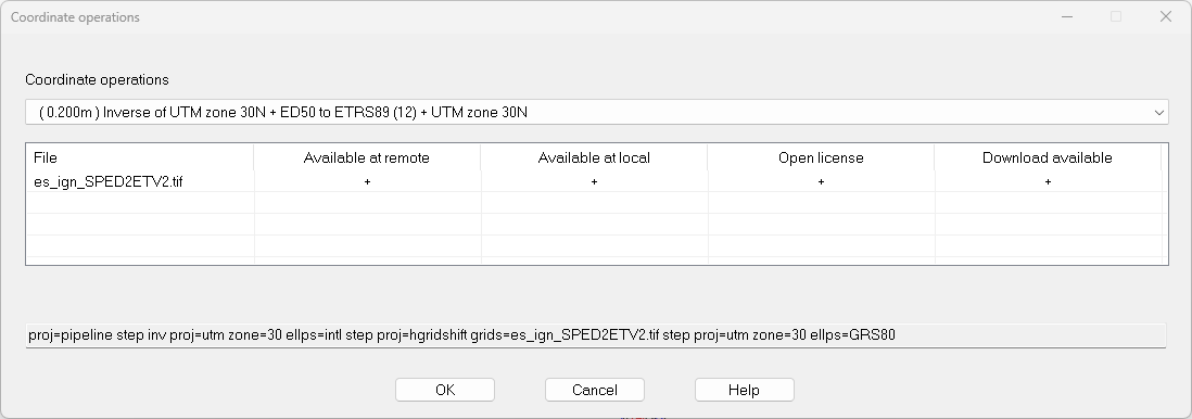
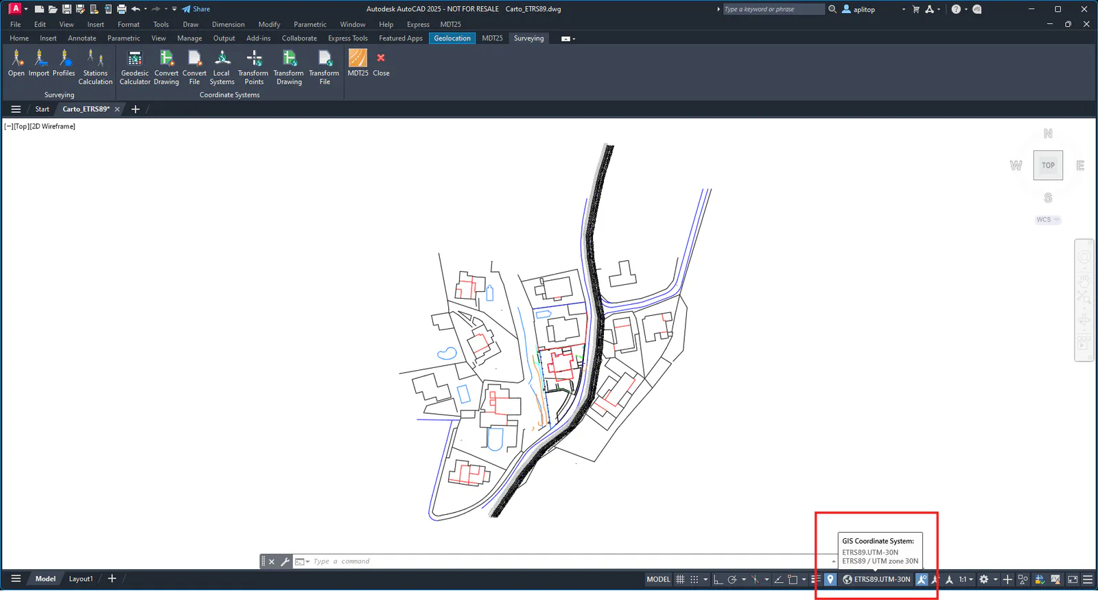
Press OK again to convert the drawing. Apply zoom extension, and you can now verify that the coordinates do match the cartography and that the CGECS variable has been updated.