tcpMDT
Visualizing GPS raw data - MDT25
17.2 Visualizing GPS Raw Data
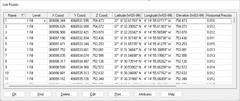
The point file is associated with a file of the same name and extension *.GPS which contains information about the raw data received at the time when the recording of each point is carried out. This data includes the geographic coordinates WGS-84, the number of satellites, the horizontal and vertical precisions, the PDOP and the target height.
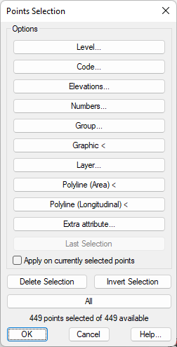
Execute the command Points > List Points (or on the options ribbon Points > Operations > List) and press OK in the Points Selection window. All the available points are selected.
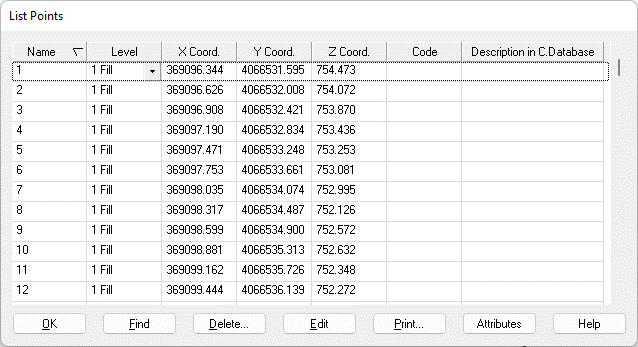
By default, only the points file field are shown:
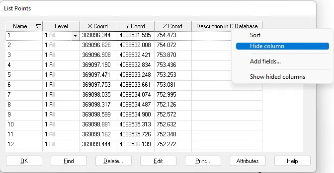
Press the right-hand button of the mouse on the title of the Code column and select Hide Column. Follow the same procedure for the column Description in C.Database.
To add the GPS information associated with each point, press the right-hand button of the mouse on the title row, select the option Add Fields and mark the fields shown below:
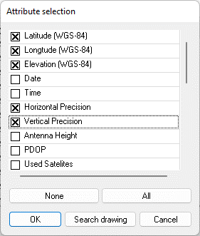
Press OK to view the list of points with the additional information selected