
tcpMDT
Touring the site - MDT25
12.6 Touring the Site
Then, we will take a virtual tour of the terrain. To do this, run the command Maps/Render> Route by Terrain (or Maps> Viewer> Route by Terrain), select the Terrain5.SUP surface.
When selecting the Coordinate Reference System (SRC), select 25830: ETRS89 / UTM zone 30 N for the horizontal and EPSG:5782-Alicante height for the vertical.
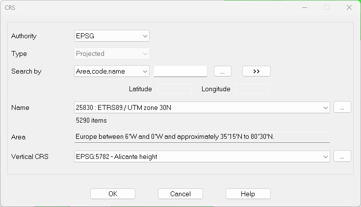
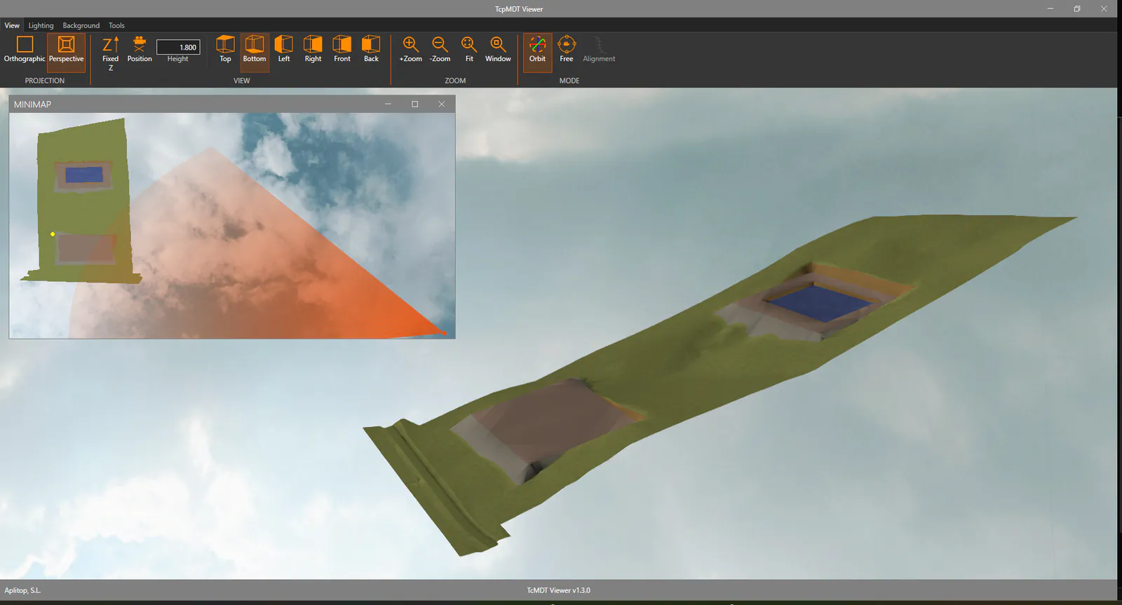
Press OK and the terrain viewer will start. Experiment with the controls to change the image.
File Overview
Once the job is finished, we list the existing project files in the C:\MDT25_Projects\Tutorial12 directory. The main files are the following
File Description
Terrain.DWG Drawing with the terrain
Tutorial12.prj MDT project file
Platform1.dwg Drawing with platform block
Platform2.dwg Drawing with platform block
Platform3.dwg Drawing with platform block
Terrain.SUP Original terrain Surface file
Terrain2.SUP Second surface generated for first grading
Terrain3.SUP Third surface generated for second grading
Terrain4.SUP Fourth surface generated for third grading
Terrain5.SUP Final terrain surface file