tcpMDT
Transformation of the drawing coordinate system - MDT26
To carry out this exercise, it is necessary to have the Topography Module.
The purpose of this example is to update an old cartography in the ED50 / UTM 30 system, performing a coordinate transformation to ETRS89 / UTM 30. To serve as a check, we insert an image of the PNOA that covers the area of our drawing. As already explained in the previous example.
Download the image:
PNOA-MA-OF-ETRS89-HU30-H25-1053-3. TIF
First, you must open the Carto_ED50.dwg file, which is located in the C:\MDT26_Ejemplos\Ejemplo18.
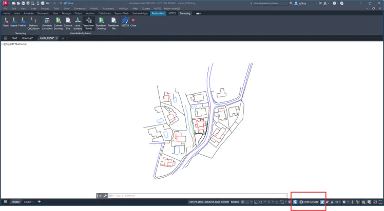
You can see how when you open the drawing, the variable of the CGEOCS CAD system is established with the coordinate system that was already saved in the drawing. Only valid for AutoCAD and ZWCAD 2025.
Then we insert the downloaded image with the command Images > Insert Image:
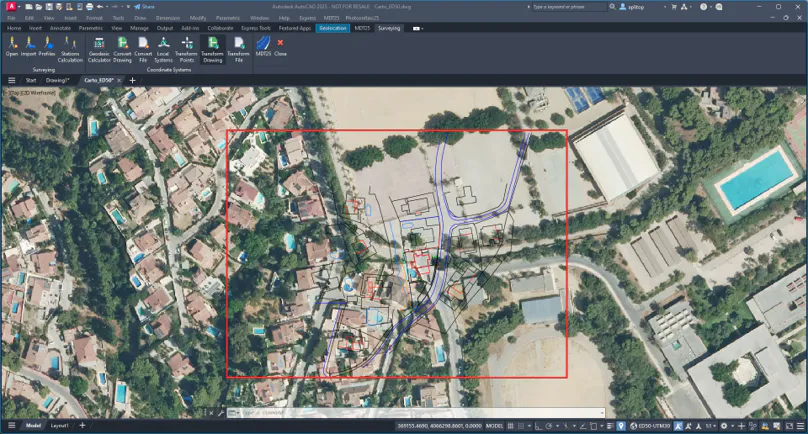
We can see that the drawing and the image do not fit.
18.1 Transforming Drawing
As explained initially, the image is in the ETRS89 / UTM 30 system and the drawing in ED50 / UTM 30, so we proceed to transform the coordinates of the drawing.
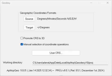
To better control how the coordinate transformation is performed, run Coordinate Systems > Geodesy. In the dialog, enable the Manual Selection of Coordinate Operations option.
Now run the command Coordinate Systems > Convert Drawing. It can be seen that the SRC Origin is identified, since it is associated with the drawing itself.
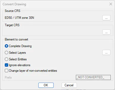
Press the ... in the Destination Coordinate Reference System (Target SRC) box.
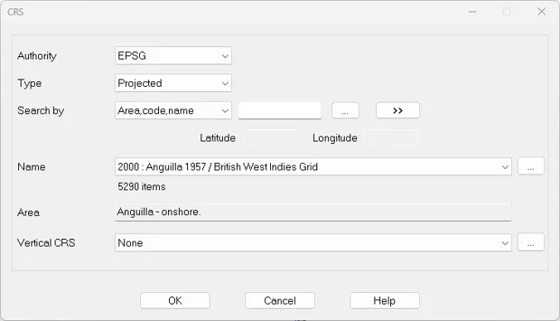
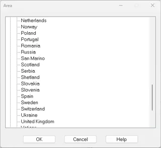
Press the ... and in the Area selection dialog select Europe > Spain and press OK.
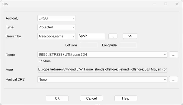
Back to the previous dialog, press the >> button and within the Name list select 25830: ETRS89 / UTM zone 30 N. Press the OK button.
In the Convert Drawing dialog, within the Elements to Convert frame of the conversion dialog, check Select Layers and press the button on the right:
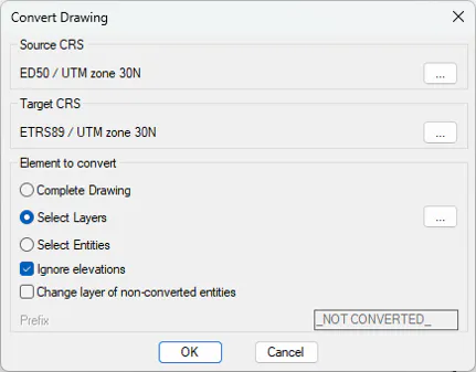
We select all the layers except the image layer:
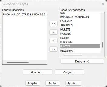
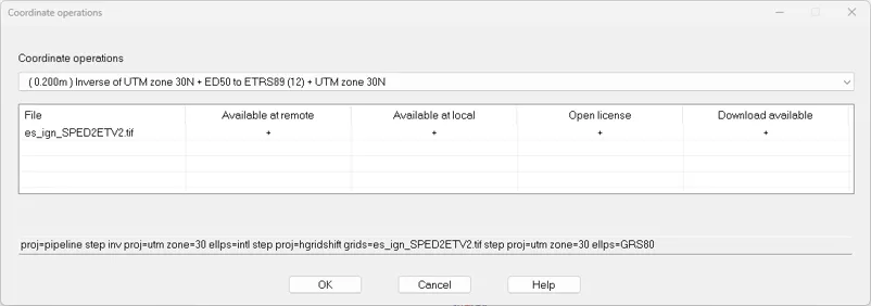
Press OK and in the Coordinate Operations dialog select the one shown in the figure, which uses the grid mentioned above.
Press OK again to convert the drawing. And a warning appears asking us if we want to update the coordinate system of the drawing.
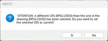
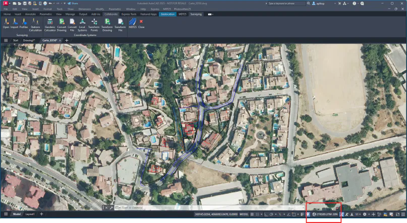
Apply zoom extension, and you can now verify that the coordinates do match the cartography and that the CGECS variable has been updated.