tcpMDT Photovoltaic
Labelling - PV25
11.4 Labelling
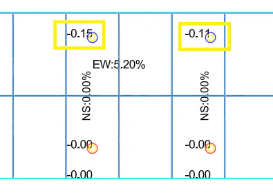
Once the Structures have been calculated with the "Calculate in Elevation" command, this option will label in the drawing the different slopes East - West and North - South, as well as the differences in elevation of the characteristic points of the structure with respect to the final terrain calculated.
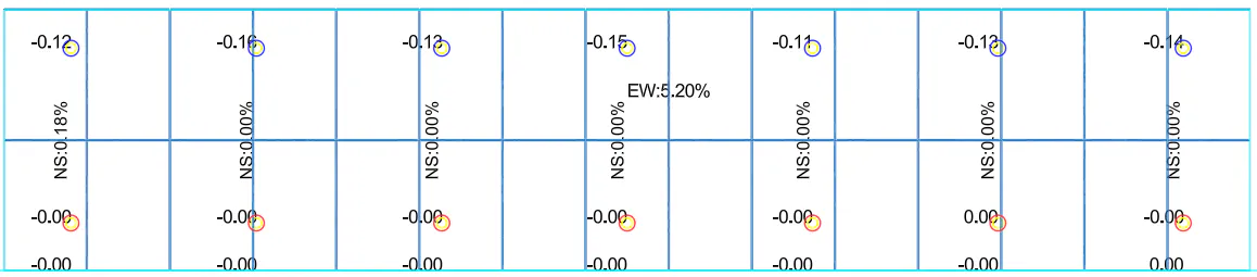
On the one hand we have the labeling of the slopes, these slopes should not be higher than the restrictions of the corresponding Zone. In the following image you can see the East West slope of the Structure as well as the North South slope of the final terrain in the position of the poles.
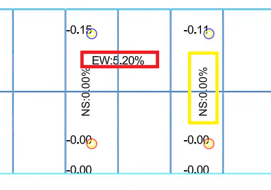
In addition, we also have the difference in height at each of the characteristic points, that is, in the position of the poles and at the lower end of the Structure, the point at which the Nominal Clearance is applied.