
tcpTunnel
Control points - TNL5
5.3 Control Points
Control points of the current project are stored in these files in ASCII format. These files have the *.BSE extension (compatible with TcpMDT) and contain the following data for each station:
A stations file is automatically created whenever a project is created. It has the same name as the project with the aforementioned extension.
The field separator can be a space, a tab or a comma.
The names and codes cannot include blank spaces.
The options available for this kind of files are the following:
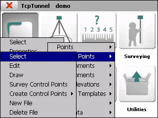
Select
Allows one to select a stations file.
Edit
Allows one to view and modify the current file's records.
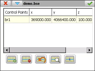
The records are made up of the following fields:
**Name** **Type** **Length** **No. of Decimals** **Remarks**
Control Point Alphanumeric 64 - Name of the control point
     X           Numeric          11                3

     Y           Numeric          11                3

     Z           Numeric          8                 3

   Code        Alphanumeric      256               \-                    Optional

   Scale         Numeric          9                 8
The  button calculates the current station's anamorphosis based on WGS-84 datum.
Apart from the button-based options, other options are available through this window\'s title bar menu:
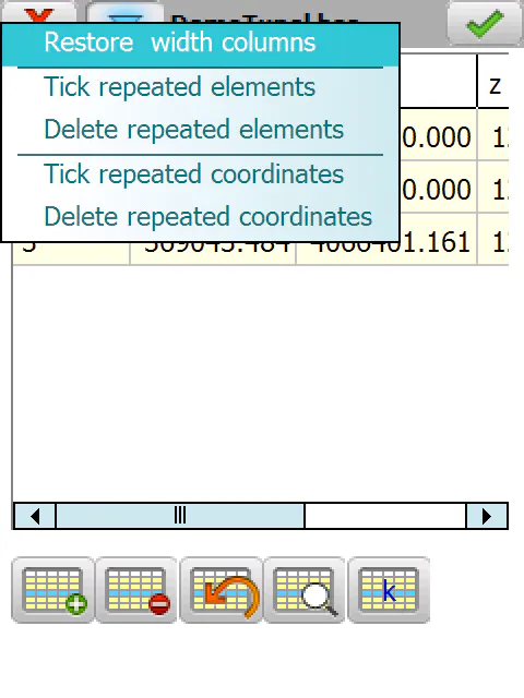
These options allow user to restore the default width of columns and locate and remove points that have the same number or coordinates.
Draw
Shows a drawing with the control points stored in the current file.
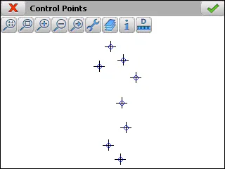
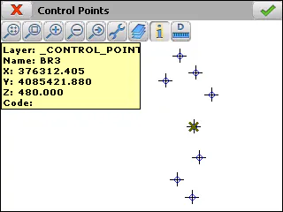
Survey Control Point
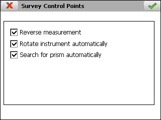
Allows one to create a control point from a point measured from the total station.
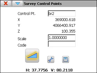
The measurements can be done with reverse option, rotating the instrument automatically with motorized total stations. These parameters are availables through Settings option of the menu of the title bar.
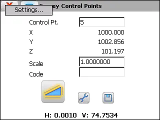
Create Control Point
Permits one to create a control point in two different ways:
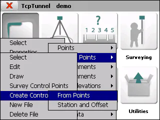
From points
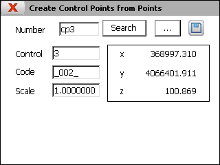
The number of the desired point should be entered in the Number box and the Search button or the  button should be clicked and the point selected from the list shown. The button
 adds the control point to the selected file.
Entering the code is not obligatory.
By Station and Offset
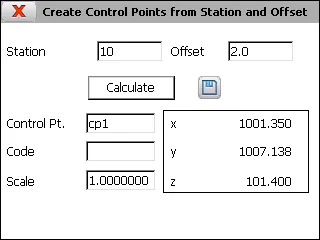
The coordinates of a new control point are shown on screen by entering a Station(chainage) and Offset and clicking on the Calculate button. A name should be entered for the control point and the button clicked to save the data.
If the project does not have a vertical alignment file, it is saved with a height equivalent to 0.0.
Entering the code is not obligatory.
New File
Creates an empty control point file.
Delete File
Deletes a control point file from the disk. If it belongs to the current project, the link to the project is also deleted.