tcp PointCloud Editor
Elevation slopes and orientations maps - PCE
2.7 Elevation, slopes and orientations maps
-
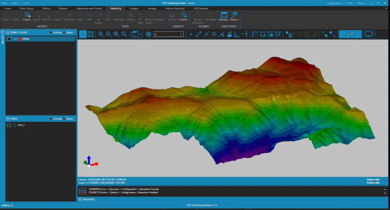
In the table of contents, select the grid, right-click and choose the Representation option. In the dialog, choose By Elevation and press OK.
-
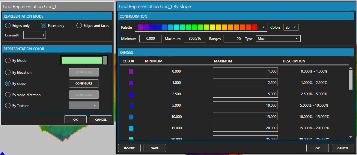
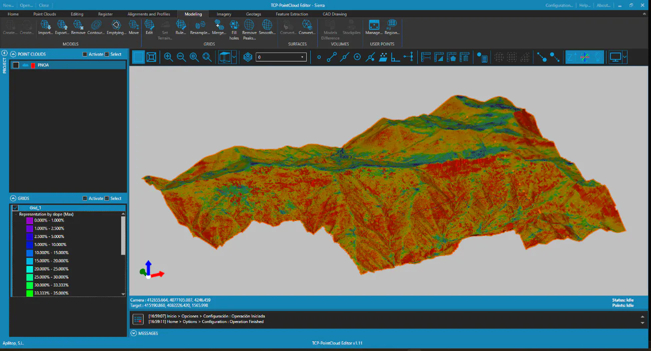
Again, select the grid and click on Representation. In the dialog, choose By slope and press CONFIGURE. Accept the proposed ranges and press OK.
-
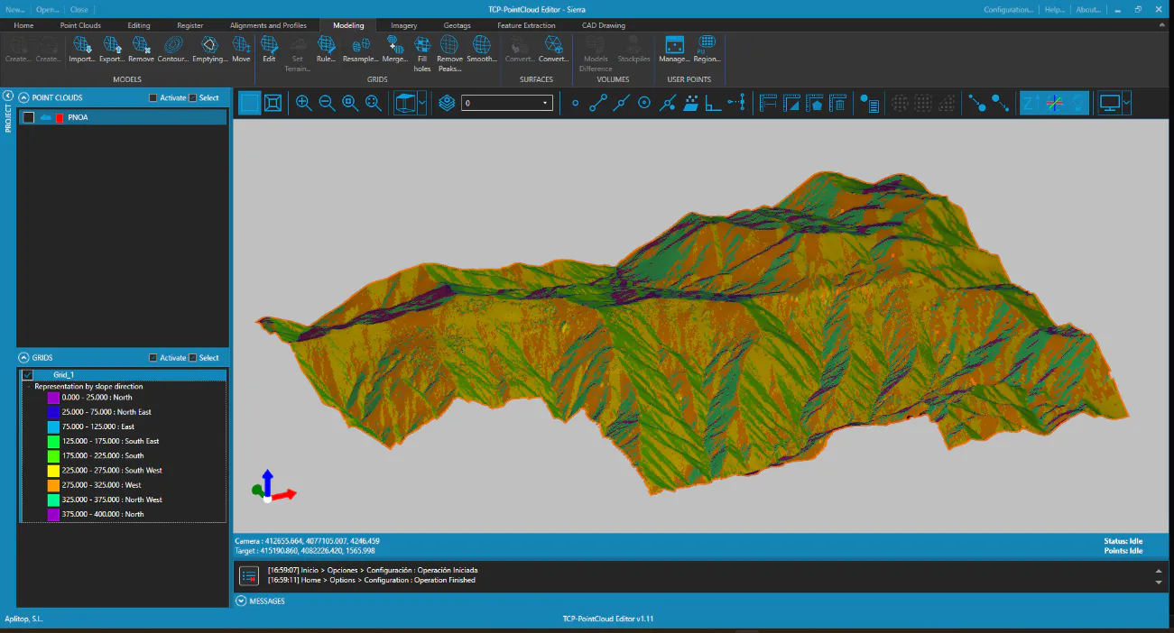
Repeat the process and select the By slope direction option. In the table of contents, expand the legend to make visible the orientations: North, South, East, West, etc.