tcpMDT
Exporting to GIS - MDT26
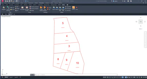
We will start by exporting to GIS the plots created by MDT in the previous exercise. Open the drawing Plots.dwg in the folder C:\MDT26_Projects\Tutorial06.
6.1 Exporting to GIS
Run Plots > Export and select *.shp as the output format, specifying Urbanizacion as the name, creating the file Urbanizacion_plot.shp. The suffix is assigned because if there were buildings, a separate file would be generated for them.
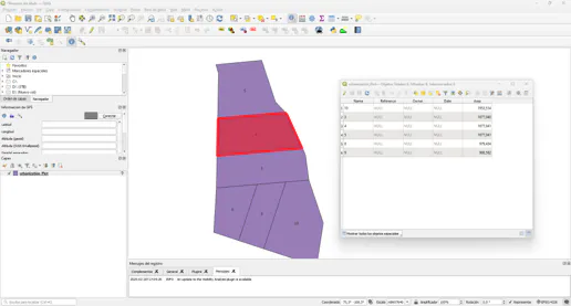
To verify the result, open a GIS application, for example QGIS, and add the created layer to the project. Press the information tool and designate any of the plots, verifying that their attributes are displayed.
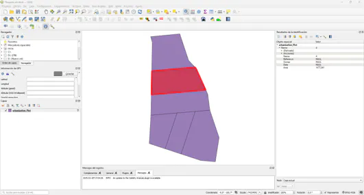
Optionally, label the plots with the Name field and open the attribute table.