
tcpMDT
Importing shape files - MDT26
6.3 Importing Shape Files
For the continuation of this exercise we will use the Spatial Reference Data of Andalusia (DERA), from the Institute of Statistics and Cartography of Andalusia (Spain) in various formats.
To do this, go to https://www.juntadeandalucia.es/institutodeestadisticaycartografia/dega/datos-espaciales-de-referencia-de-andalucia-dera.
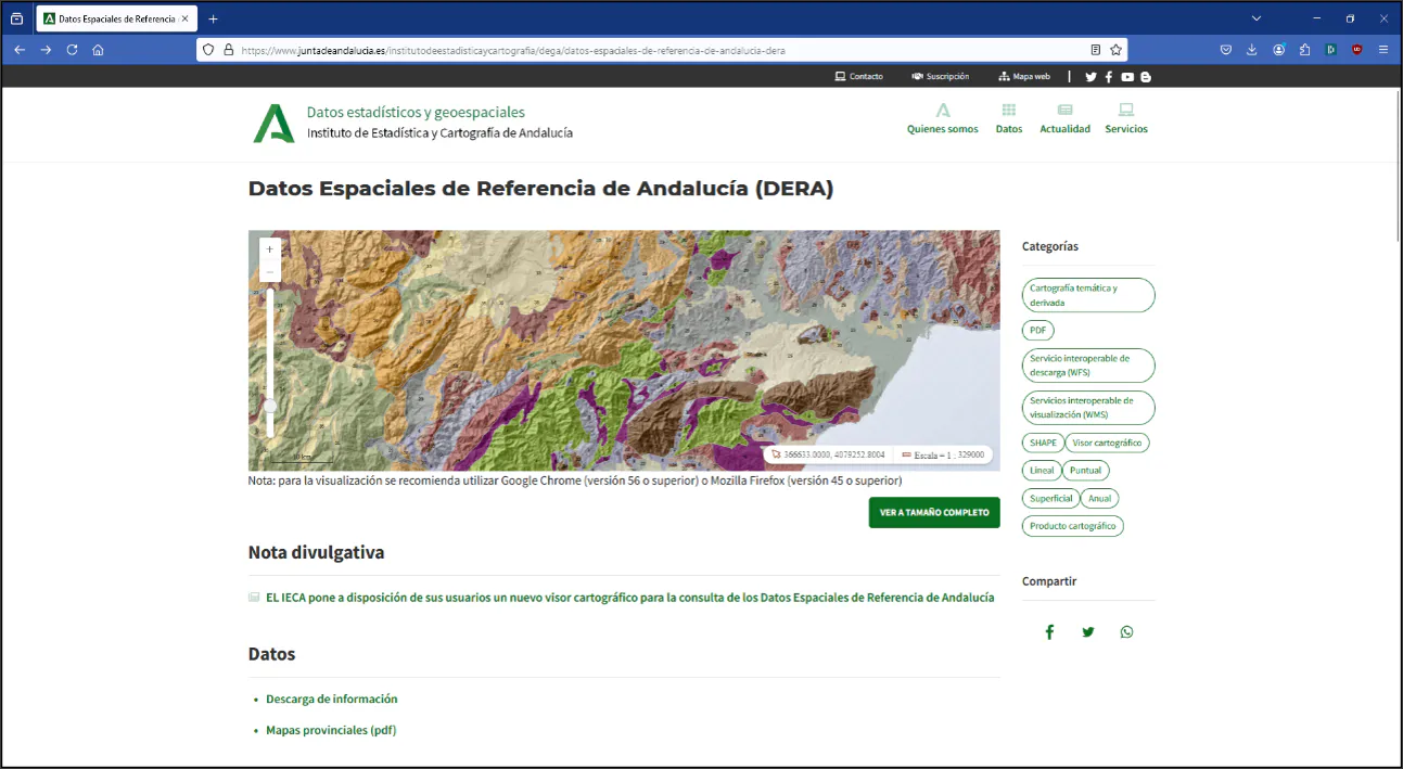
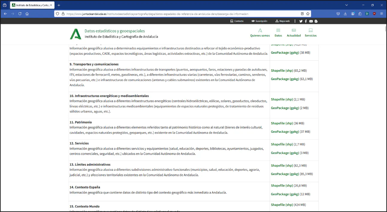
On this page, within topic 13 (Administrative boundaries), download the file in Shapefile (shp) format and extract it to the folder C:/MDT26_Projects/Tutorial06.
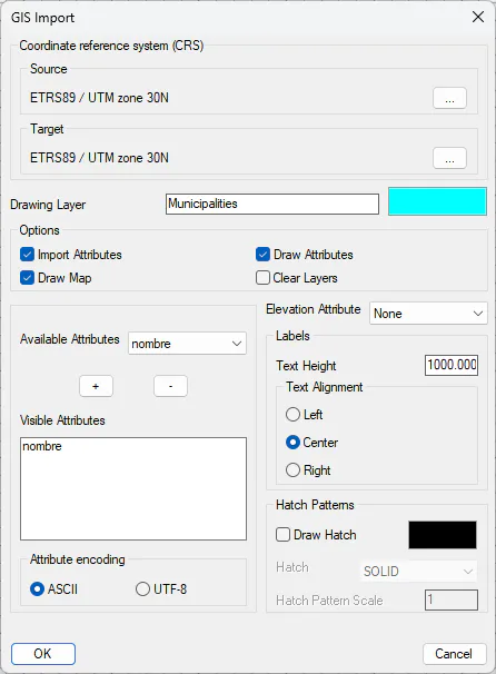
Run GIS > Import GIS Data and choose the file 13_01_TerminoMunicipal.shp. Edit the proposed layer name to Municipalities with cyan color. Activate the Draw Attributes checkbox and within the Available Attributes select nombre and press +.
Within the Attribute Encoding section leave ASCII and in Text Height set 1000 and Text Alignment Center. Press OK and again OK.
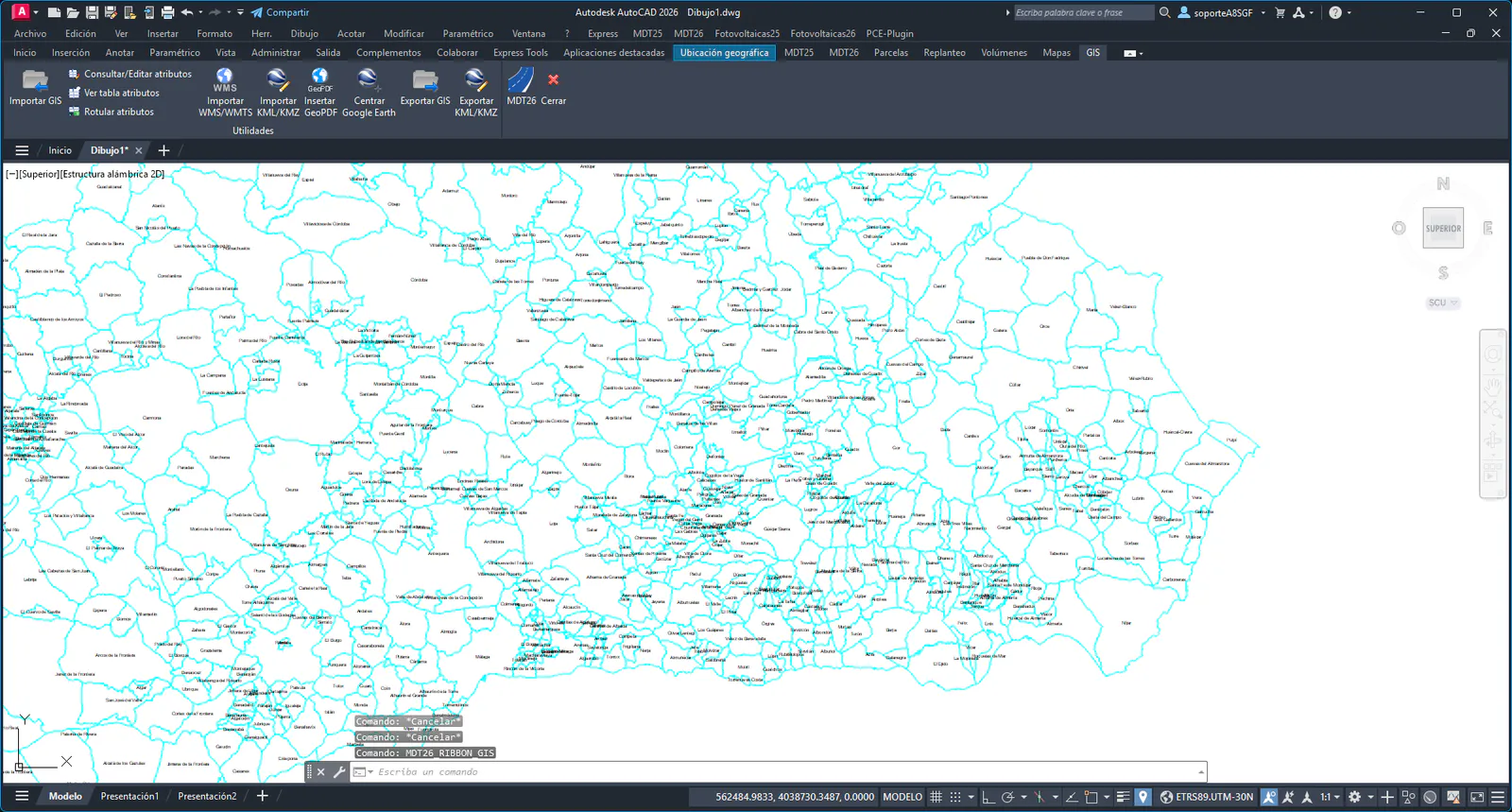
Layers Municipalities and Municipalities_nombre have been created with the boundaries and names of the municipal areas. The system variable CGEOCS has also been updated with the coordinate system of the file.
Repeat the process importing the file 13_01_Provincia.shp, assigning Provinces as the layer name in blue color. This time we will not draw the attributes.
Using the CAD layer manager, hide the Municipalities_nombre layer and increase the thickness of the Provinces layer.
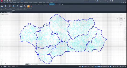
Save the drawing with the name Andalucia.dwg in the same folder.