tcpMDT
Importing WFS entities - MDT26
6.5 Importing WFS Entities
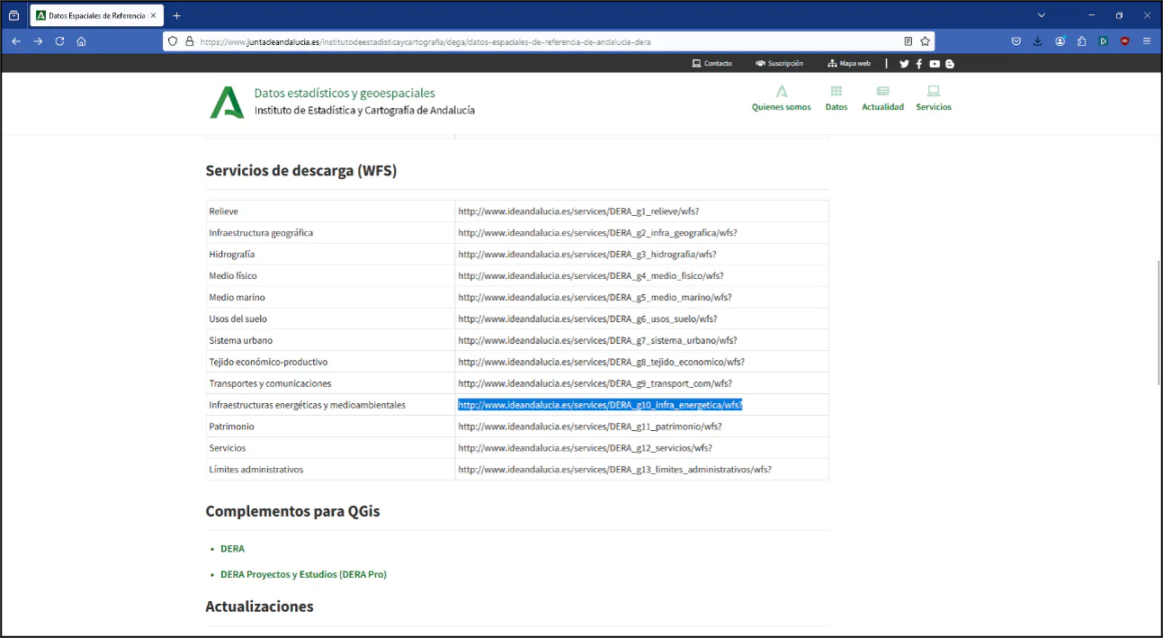
Next, we will use a feature download service (Web Feature Service), which allows us to download an area of interest on demand. To do this, go back to the page https://www.juntadeandalucia.es/institutodeestadisticaycartografia/dega/datos-espaciales-de-referencia-de-andalucia-dera.
Within the Download Services (WFS) section, copy the URL corresponding to Energy and environmental infrastructure to the clipboard:
http://www.ideandalucia.es/services/DERA_g10_infra_energetica/wfs?
Zoom into an area of interest in the drawing, for example a municipal area. Now run GIS > Import WFS. In the services table, add a new row with Name Energy and paste the above URL in Address. Select that row in the table and set the Coordinate Reference System to 25830: ETRS89 / UTM zone 30N.
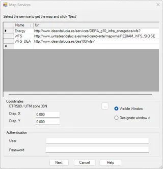
Press Next and then OK. Now designate the area of interest and the list of layers of that service will be displayed.
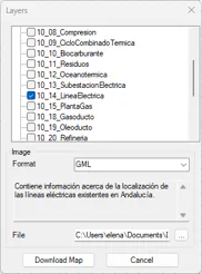
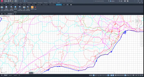
Select a layer to download for the area, for example 10_14_LineaElectrica, and press Download Map.
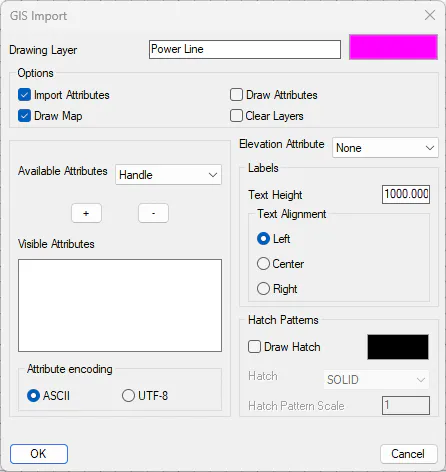
In the following dialog, as explained for the import of shape files, set the layer name to be created and its color and press OK.