tcpMDT
Filling up to an elevation - MDT26
12.5 Filling up to an Elevation
Finally, on the earthworks that we have executed in the far north of the terrain, we will simulate a fill to an elevation.
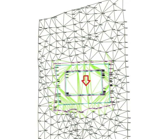
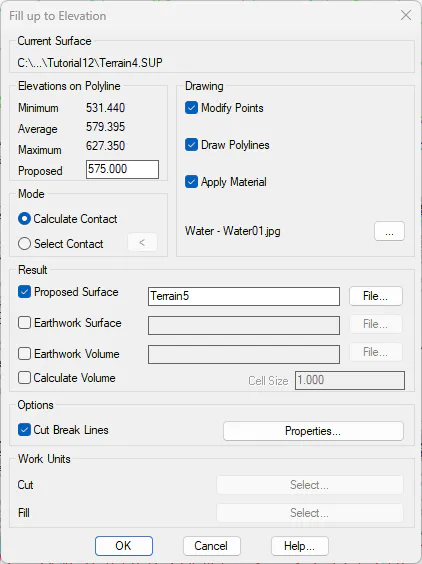
Thus, run the command Surfaces> Earthworks> by Fill up to an Elevation (or Surfaces> Grading > Fill to Elevation), select a point in the center of the inner platform located to the north of the drawing, and validate the dialog box with an elevation of 575, keeping the other parameters with their default values.
 |
 |
|---|---|
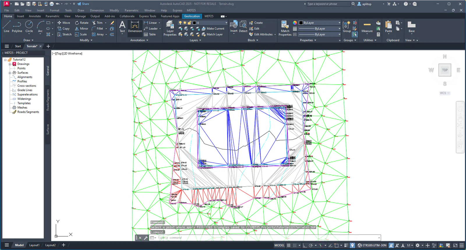
The following result will appear:
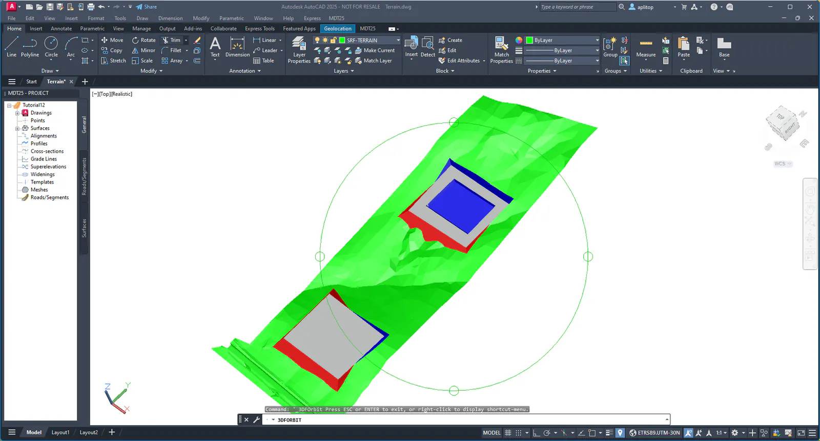
With the CAD tools, hide all layers except SRF-TERRAIN and now switch to the Realistic visual style, to visualize the current surface using 3D faces colored according to the type of triangle.