tcpMDT
Touring the site - MDT26
12.6 Touring the Site
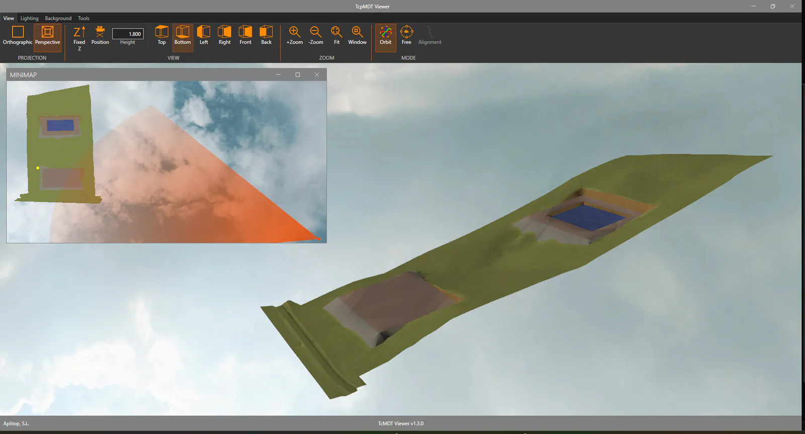
Then, we will take a virtual tour of the terrain. To do this, run the command Maps/Render> Route by Terrain (or Maps> Viewer> Route by Terrain), select the Terrain5.SUP surface.
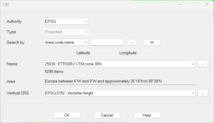
When selecting the Coordinate Reference System (SRC), select 25830: ETRS89 / UTM zone 30 N for the horizontal and EPSG:5782-Alicante height for the vertical.
Press OK and the terrain viewer will start. Experiment with the controls to change the image.