tcpMDT
Grading by terrain elevation - MDT26
12.3 Grading by Terrain Elevation
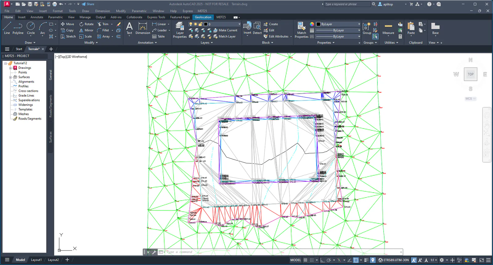
Using the current surface as a base, we will perform a grading in which we know the terrain contacts instead of the contour of the platform.
Set 0 as the active layer and insert the Platform2.dwg block in the same way as explained in the previous section.
Run the command Surfaces > Grading > by Terrain Elevation (or Surfaces > Grading > Terrain elevation) and select the new polyline. The following dialog box will appear, where the properties to be calculated will be specified.
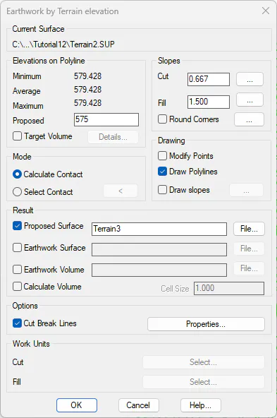
In the Proposed elevation box, enter 575 and for the other boxes keep the default values specified by the program. Validate the dialog box.
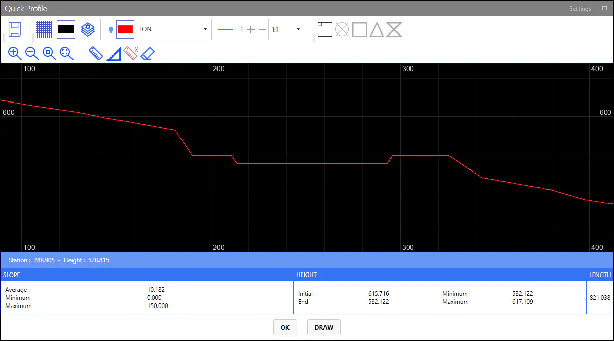
Likewise, if we execute the Quick Profile command, we can visualize the current status of our model.