tcpMDT
Elevations - MDT26
4.4 Elevations
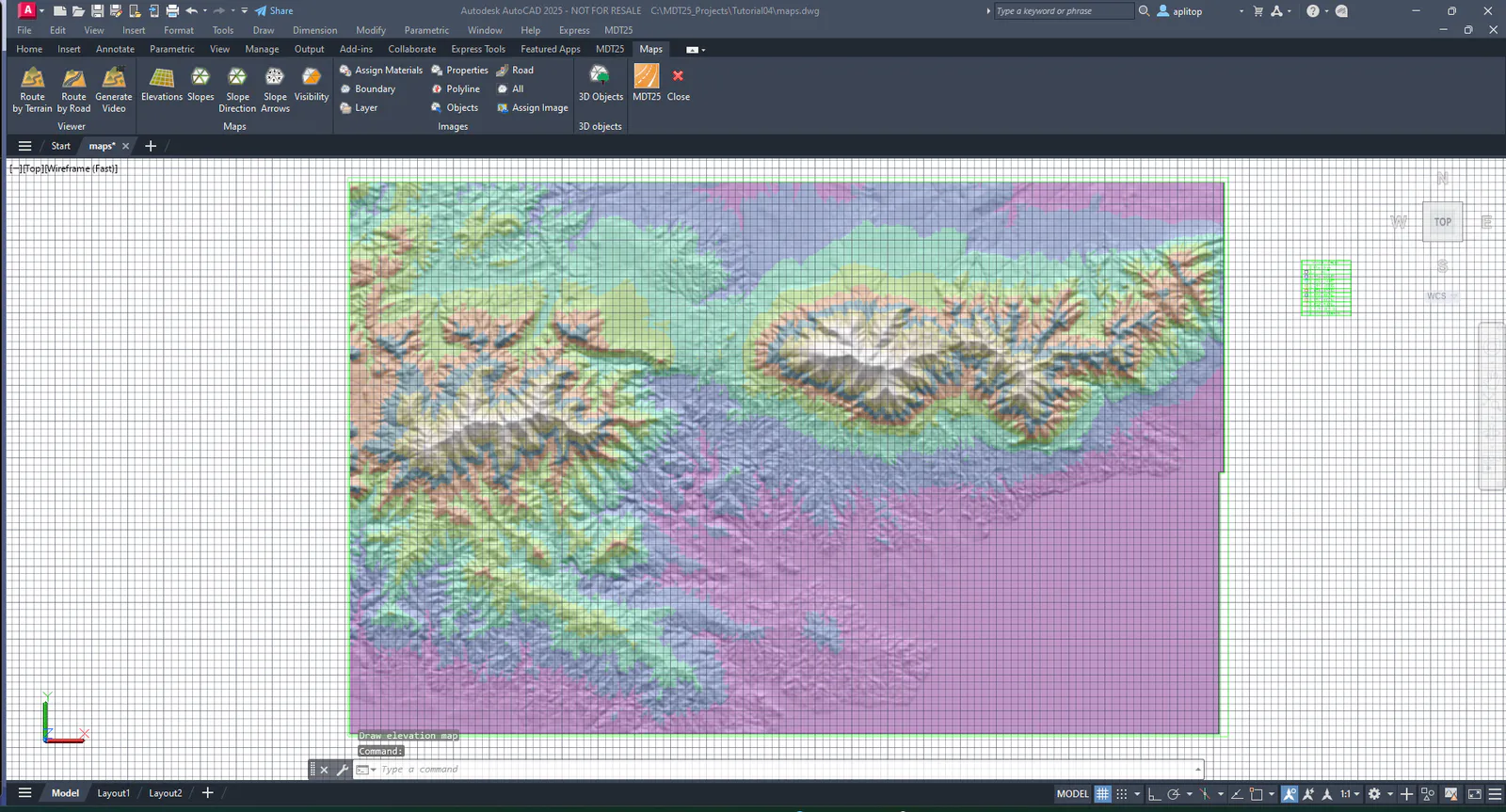
We now proceed to draw a map with the heights or elevations of the terrain. Hide the MAP-SLOPES-DIR layer, run Maps > Draw Elevation Map and choose the 1066_LID_X8 file. MDE.
Set Image mode and assign a Transparency level of 50%. The Isolate Layer check box must be cleared.
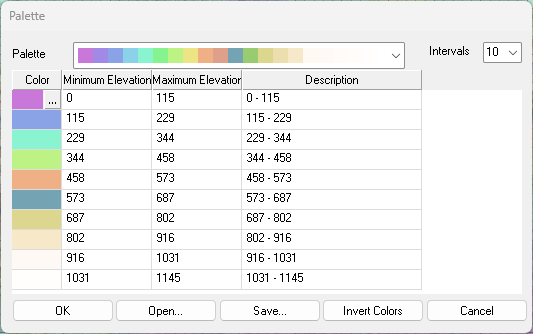
Click Color Palette and choose an appropriate palette or press Open and select the heights.plm file.
As you can see, the relief is better appreciated due to the combination with the shadows generated in the previous section.