tcpMDT
Visiility - MDT26
4.6 Visibility
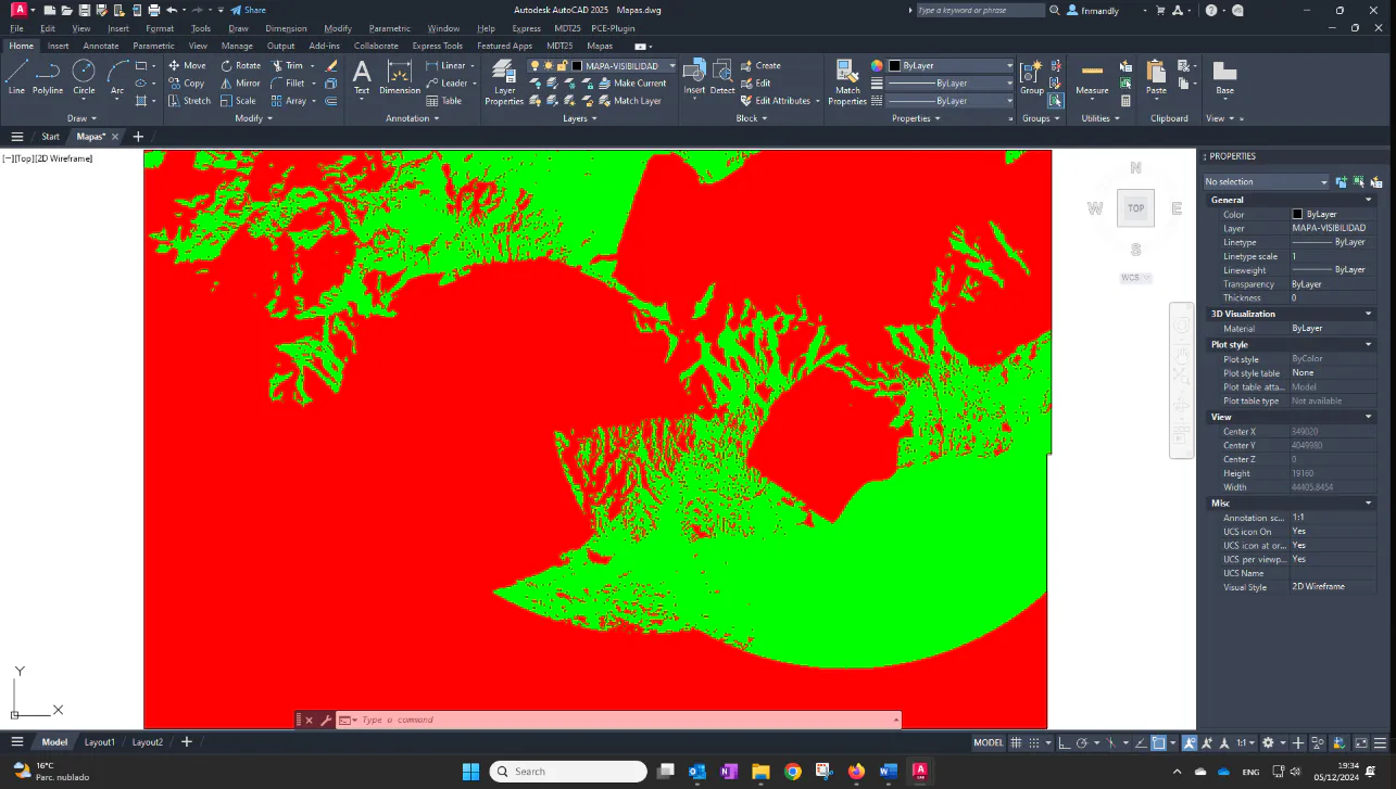
Finally, we are going to generate a map that represents the areas visible from certain observation points.
As a first step we proceed to import the observation points, running Points > Import and selecting the Observers.pun file. It is advisable to set a text size of 200 and it may be advisable to change the colors of the attributes. Answer No to the question about removing the surface.
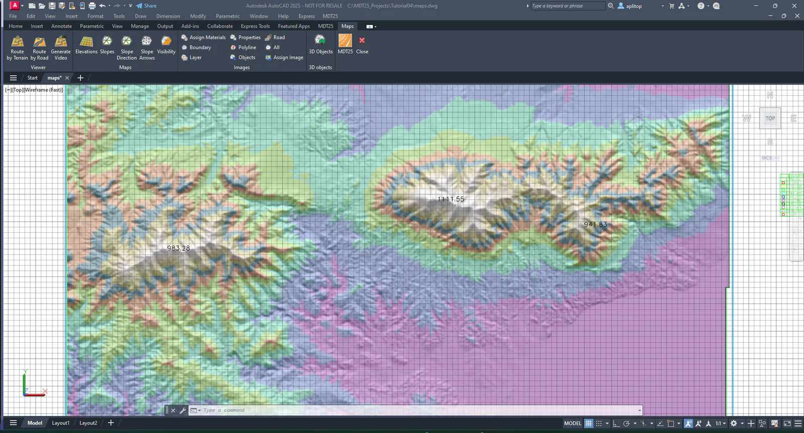
Now run Maps > Draw Visibility Map.
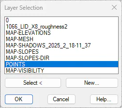
In the dialog, choose the option Observation Points layer and press the Select Layer button. Choose the POINTS layer and validate.
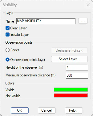
Set an Observer Height to 20 and the Maximum Observation Distance to 10000. Press OK.