tcpMDT
Roughness - MDT26
4.5 Roughness
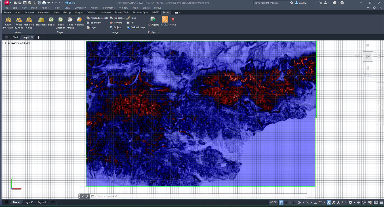
We now proceed to generate the terrain roughness map, defined as the variability or irregularity in elevation within a unit of terrain, according to Wilson et al (2007, Marine Geodesy 30:3-35). The units are the same as those in which the elevations or elevations are measured.
Run Maps > Draw Roughness Map. It is not necessary to insert the legend on this occasion.