
tcpMDT
Setting out lines - MDT26
11.3 Setting out Lines
We will set out lines of the road. To do this, run the command Setting Out> Set out Points(or Setting Out> Set out Points),
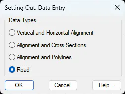
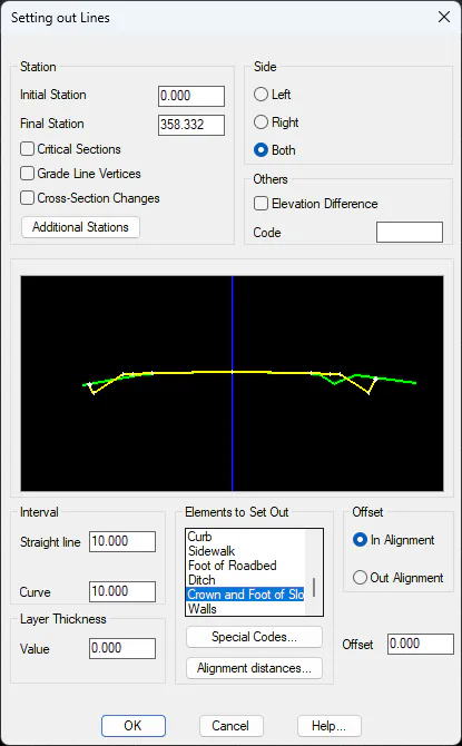
Select Road option and select the solera.SEG file, select Grade line as the layer to be analyzed, and in the dialog box, check the list of elements to represent the Crown and Foot of Slope line. Set value 10 as Interval in Straight line and Curve and press OK.
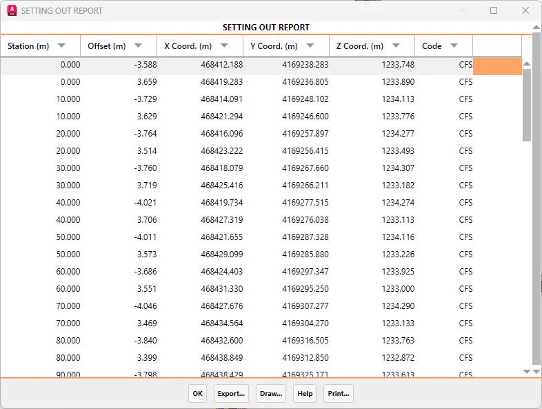
Next, a list will be displayed showing the coordinates and other characteristics of each set out line.
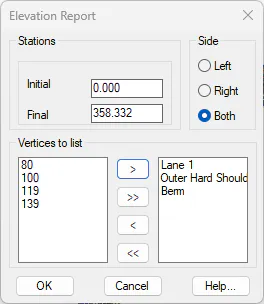
Then, we will perform a height analysis of the section. Thus, we run the command Setting Out> Elevations Report (or Setting Out> Road> Elevations Report). We will select the SOLERA.seg file and then indicate that we are going to work on the Grade line as in the previous cases. The following window will pop up where we will indicate the vectors from which we want to analyze the elevations and configure the data to be analyzed according to the following image, by clicking the icon > to select the vertices to be listed.
Once the data to set out lines has been established and the window has been validated, the following setting out list will appear.