tcpMDT
[PRO] analyze points - MDT25
16.4 [PRO] Analyze Points

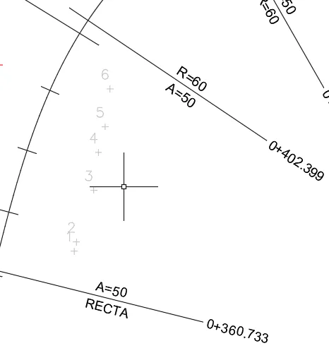
This command will allow us to analyze the correspondence of a point, entered using a cursor in the surroundings of a horizontal alignment or by entering the coordinates in X, Y format.
Firstly, the program asks whether we are going to designate the points graphically, the MDT points to be found on the drawing or they are going to be read from a file and secondly the alignment is requested, and a segment may be selected. The user then enters a series of points in the manner stated. After each of these operations, in the commands area it will present us with the relationship characteristics with regard to the alignment with station and offset, as well as their coordinates, azimuth and radius. In the event that any point cannot be projected onto the alignment, this will produce the corresponding error message.
At Z-coordinate the elevation of the model at this point will be shown if we have selected an alignment.
If a segment file has been selected, it will be shown in line with the standard section associated with the road and if there is no associated section, it will be calculated in line with the grade line elevation.
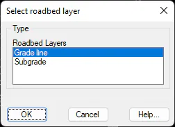
In addition, there is the possibility of entering a Layer Thickness and this will ensure that the grade line elevation to be shown is that calculated minus the layer thickness.
Once the points entering process is complete, we press and the points calculation window will appear in the ground plan with the previous data listed.
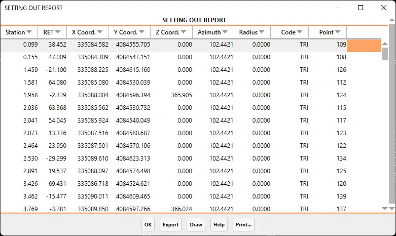
On the final list there is the possibility of exporting and printing the data obtained. Below we have described each of the options:
Export
When selecting the Export option, the program presents us with a new dialogue in which different forms of exporting data are presented. The dialogue is shown below and its characteristics:
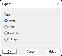
Points: The coordinates of all the points on the report are exported to a points file. When validating the dialogue, the command Export Points will be executed automatically. For further detail consult the Points section.
Profile: Possibility of creating a longitudinal profile from the information obtained in the points\' analysis.
Grade line: The same as in the previous case above, in this case a grade line would be generated.
Full Report: Dumps all the content of the list in an ASCII file in such a way that it can be edited or handled with any word processor.
When selecting this option, the data on the list is dumped into the selected printer.
Draw
The points designated graphically or by file, when pressing this button will be drawn automatically.