tcp PointCloud Editor
Point cloud and lgsx images - PCE
3.14 Point Cloud and LGSx Images
- Create a new project named Piazza.pce
-
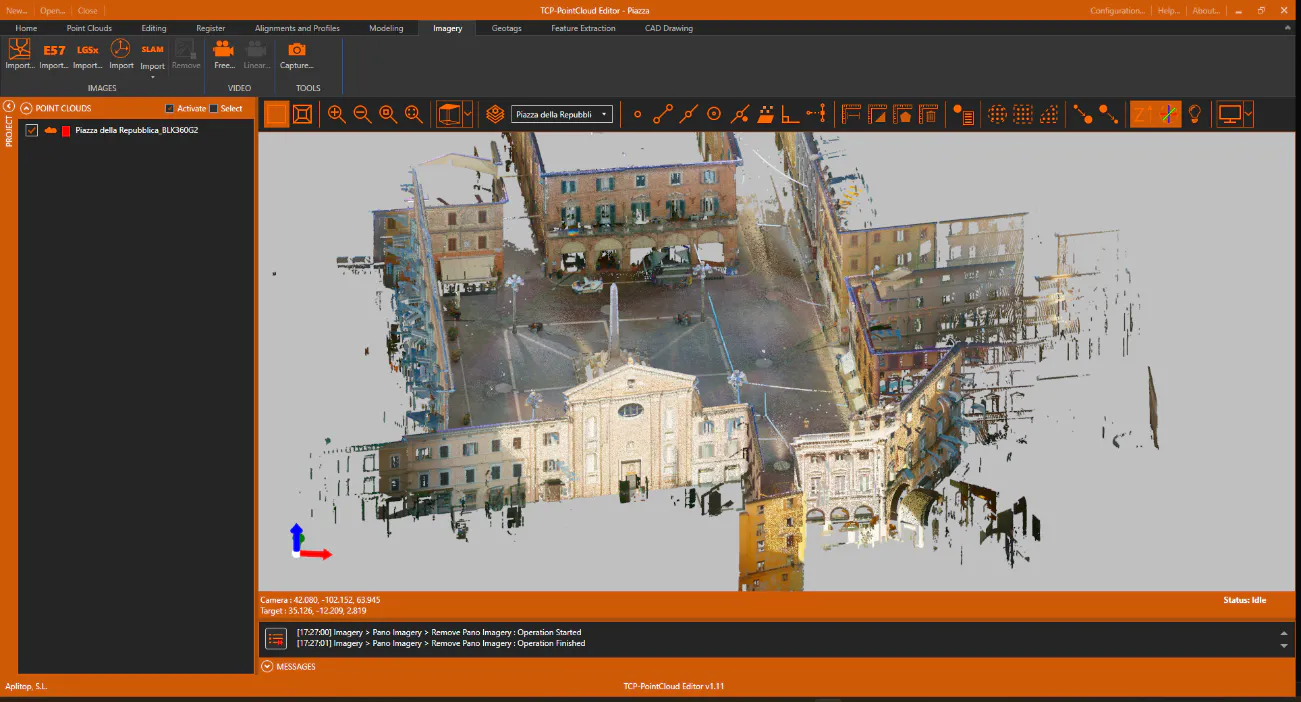
Import the Piazza della Repubblica_BLK360G2.lgsx file (courtesy of Leica Geosystems) into the 2-SCANNER folder.
-
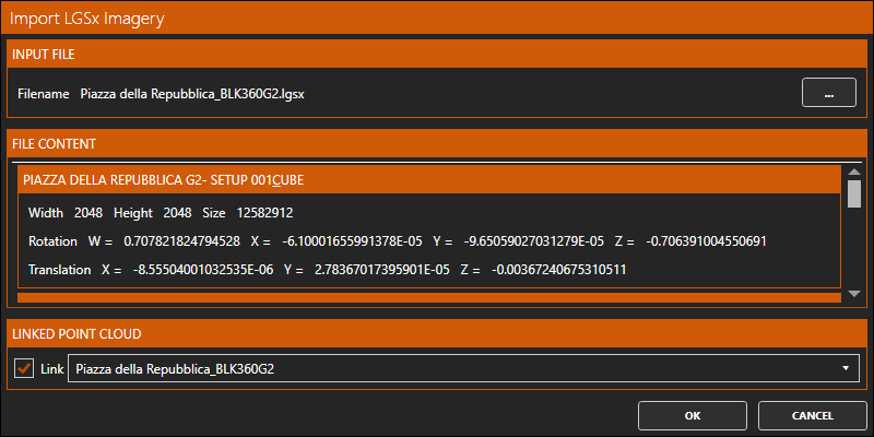
Next, activate the Imagery ribbon, and within the IMAGES group click the Import LGSx Images icon. Choose the same file again.
-
A list of the 10 panoramic images it contains will be displayed. Press OK.
-
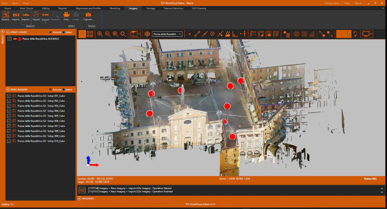
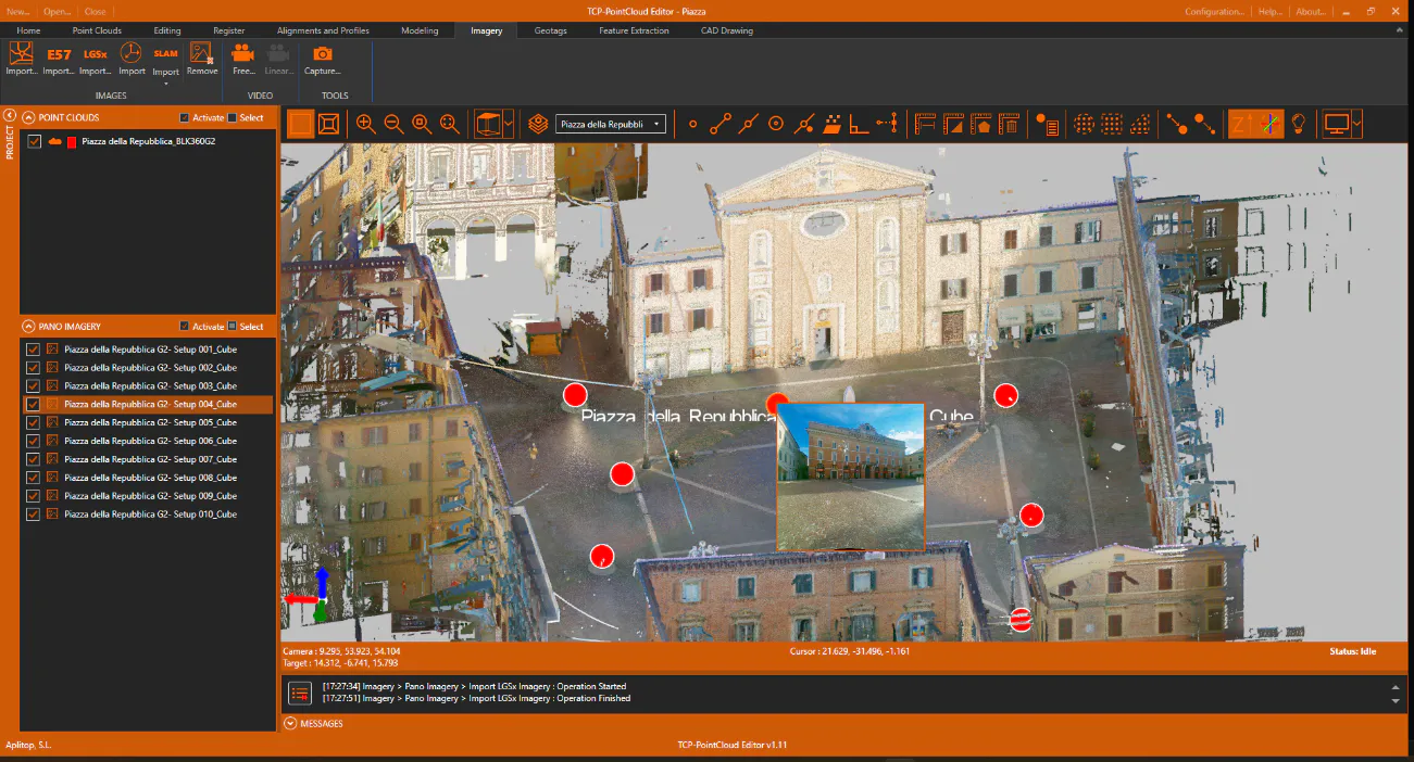
Above the point cloud, the spheres corresponding to the images are displayed.
-
Click on one of the spheres and the preview will be displayed.
-
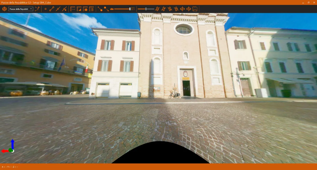
Press again to open the panoramic image. It can be seen that the point cloud has also been drawn.
-
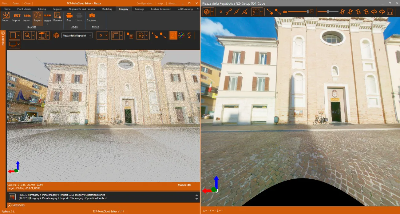
Change the layout of the windows so that the point cloud viewer and the image viewer are displayed simultaneously (two screens are recommended to improve the user experience).
-
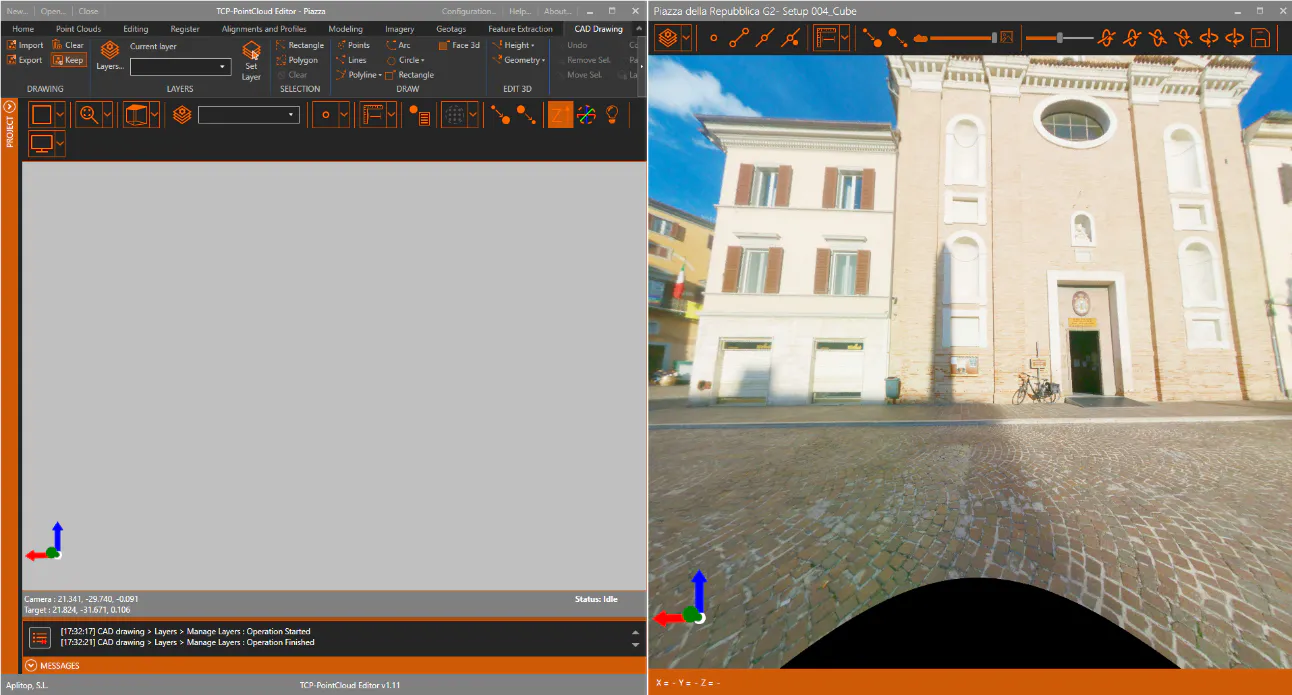
In the Point Cloud Viewer window, hide the point cloud. Verify that only the image is now displayed in the image viewer.
-
To measure or draw on the point cloud, it is necessary to activate the corresponding cloud and use the tools as explained in the previous section.
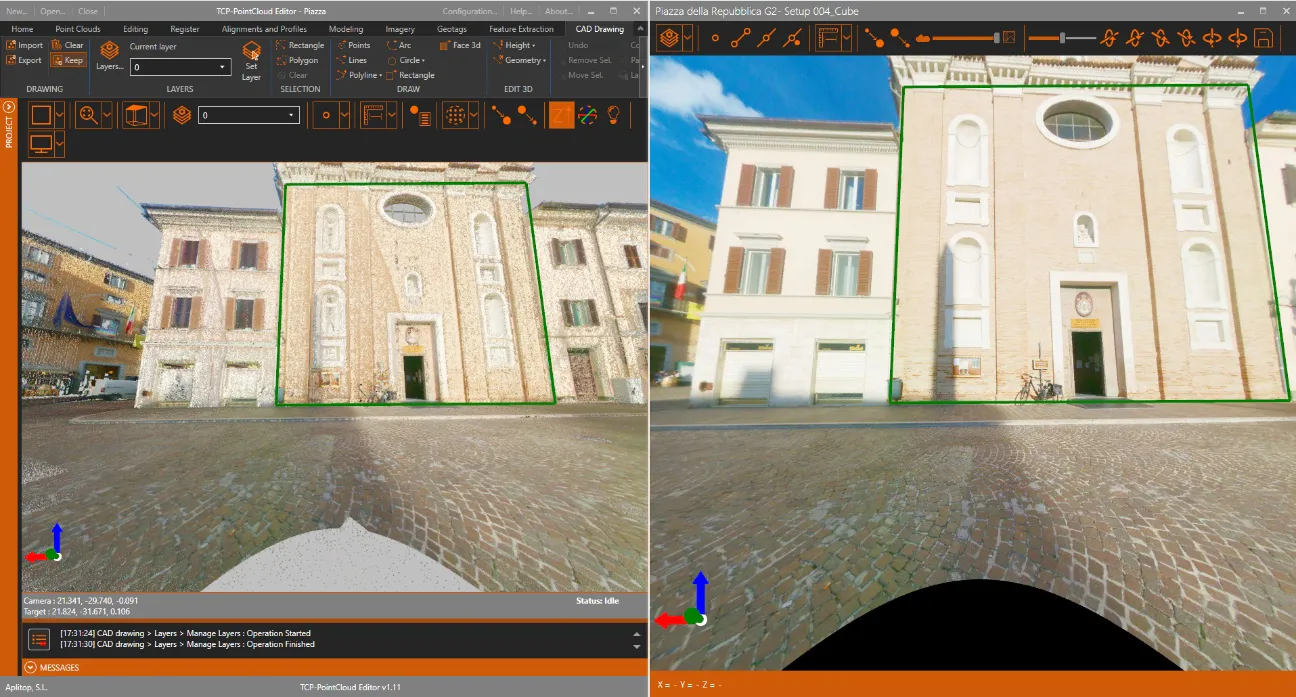
-
In the point cloud viewer, hide the CAD layer and all panoramic images and activate the Camera Orbit Mode icon. Set a view similar to the following (orthographic view).
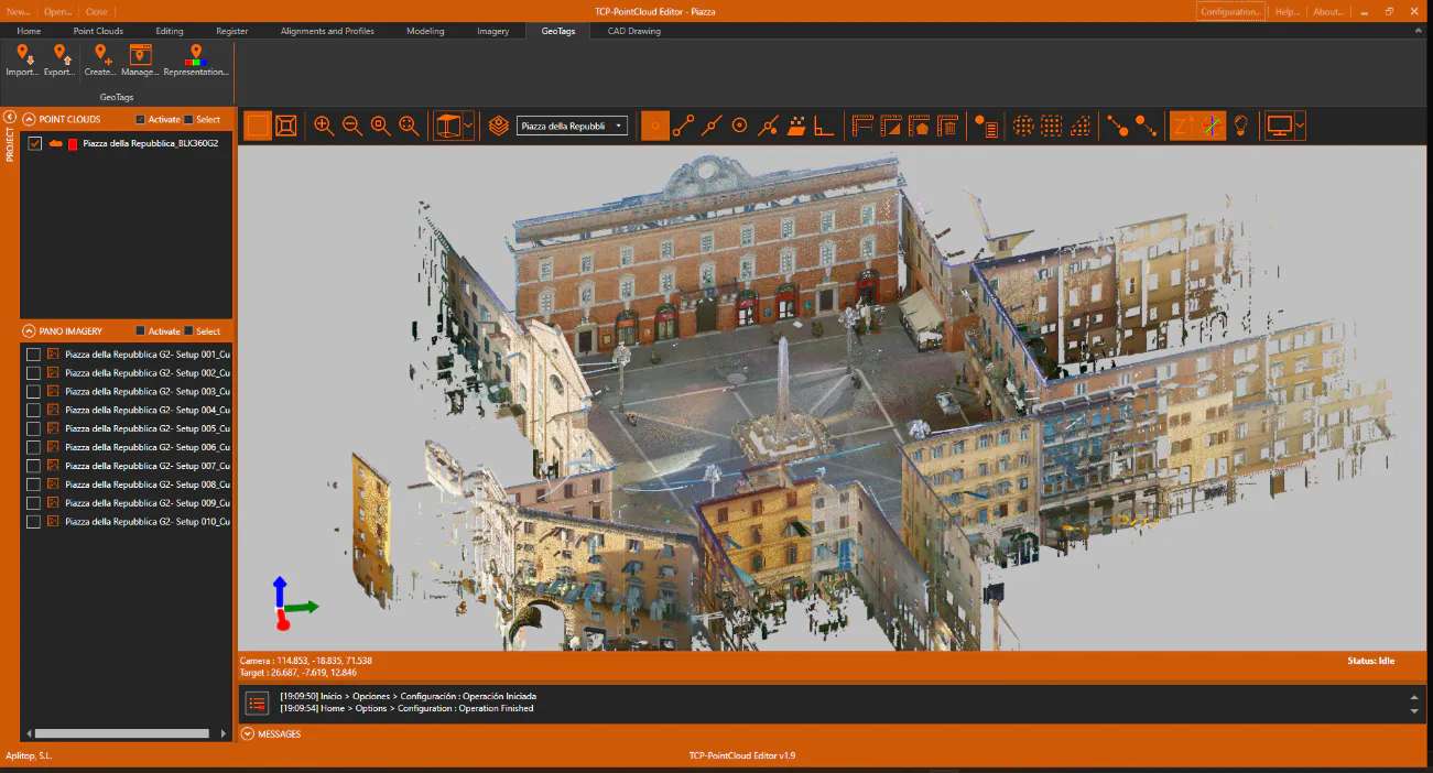
-
Enlarge the façade of the theatre, activate the Geotags ribbon and press the Create icon. Select a point, for example on the entrance door of the theatre.
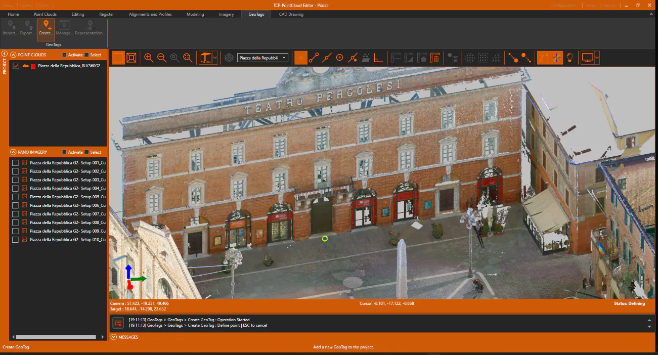
-
In the associated data dialog, fill in at least the name and optionally a description and a URL link or an attachment. Press OK.
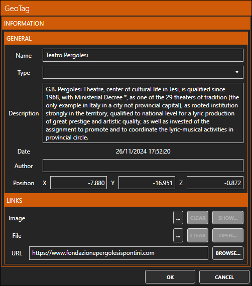
-
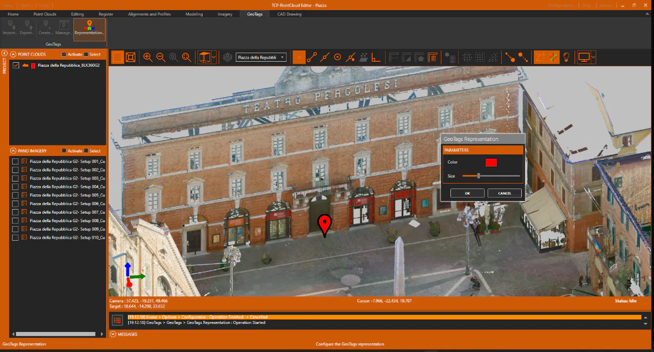
It is noted that a geotag symbol has been drawn over the point cloud. If you want to change the color or size of the symbol, click the Representation icon on the ribbon.
-
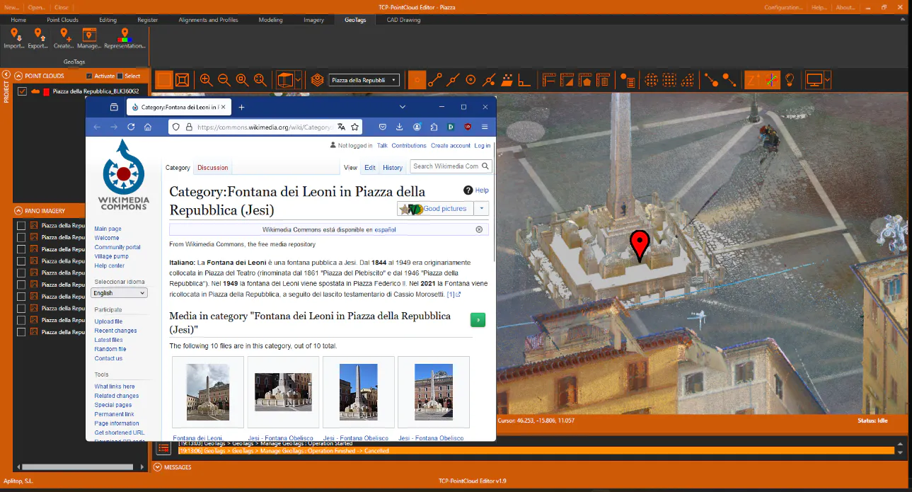
Create another geotag in the font, named "Fontana dei Leoni".
-
Click on the label icon, and check how it allows us to open the associated link by clicking on the URL button, or EDIT the content.
-
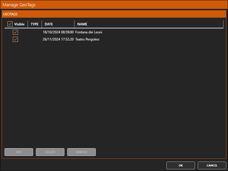
Now press the Manage button and a list of stored geotags will be displayed, allowing you to edit or locate them quickly.