
tcpGPS
Continuous survey - GPS v2
10.5 Continuous survey
Using the button  begins the taking of a series of consecutive points according to three criteria:
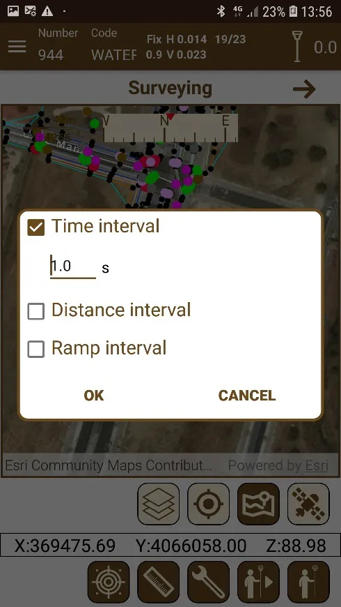
Continuous measurement by time interval: A time interval is defined for the next point to be taken.
Continuous measurement by distance: A distance is defined after which the next point will be taken.
Continuous measurement by gradient interval: A difference in level is defined after which the next point will be taken.
Before starting the taking of the points, a dialog will request which criteria will be used to decide when to take a point.
 |
|---|
Figure 66. Dialog for setting up continuous surveying criteria |
When points are taken continuously, the conditions to take them as valid will only be considered in the first one and for the rest of the points a voice will advise if the restrictions are satisfied or not and, in consequence, if the point is measured or not.
Once the taking starts, it can be stopped at any time by pressing the same button, that has changed its icon to  .
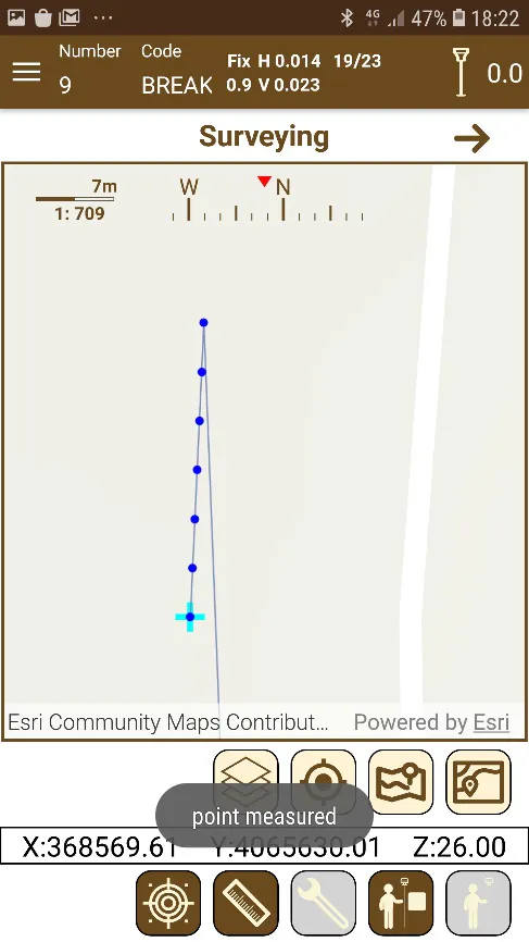
This mode is very useful when measuring lines or alignments, where the points must be measured at certain distance.
 |
|---|
Figure 67. Continuous surveying |
 |  |
|---|---|
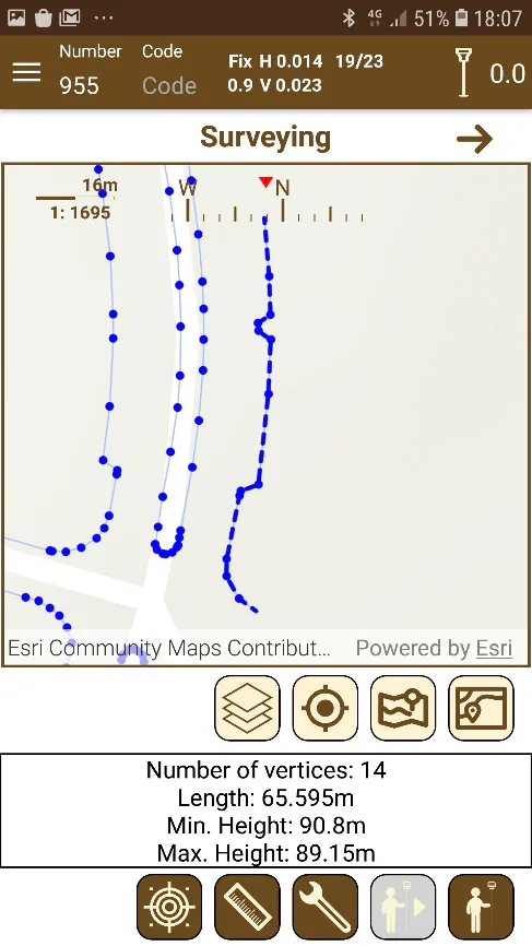
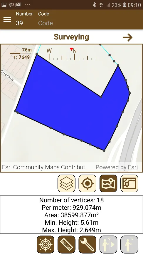
Figure 68. Line data | Figure 69. Area data |