
tcpMDT
[PRO] earthworks by platform elevation - MDT25
4.25 [PRO] Earthworks by Platform Elevation

This tool, along with that of Earthwork by Terrain Elevation allows the current surface to be modified by creating a platform. On this occasion only, the contour and elevation of the platform are known and nothing is known about the situation regarding contacts with the terrain. The slopes generated by the program start at the platform going in an el exterior direction and they end when the slope intersects with the current surface.
The first data requested by the program is the closed polyline that defines the contour of the platform to be carried out. The slopes will be generated towards the exterior of this polyline and then the following dialogue appears:
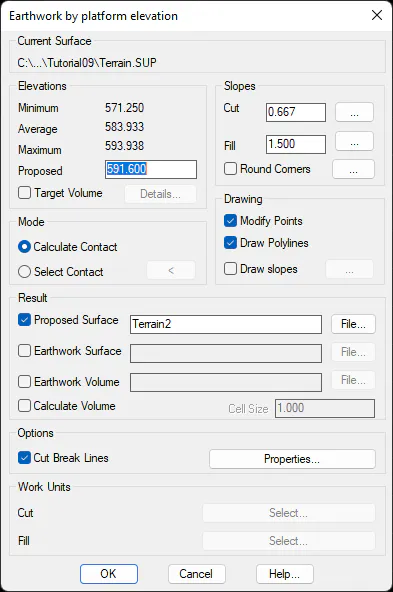
In the upper left-hand part, the elevations of the current surface appear along the designated polyline, irrespective of the elevation of the polyline itself. In the Proposed field the elevation is entered at which the platform is going to be carried out. If a 3D polyline is selected with different elevations, the text Variable appears in this field and if it is not modified, the platform takes on the elevations of the polyline itself.
Depending on the option chosen in the Mode box, the following parameters must be specified:
Calculate Contact: in this mode the elevation of the platform must be entered if it is not variable. In addition, the gradients are required, of however many to one, of the cut and fill slopes. The Discretization parameter controls the interval between each slope projection and with the parameter Round Corners the convex vertices can be made to look rounded off.
Select Contact: by pressing the associated button, a closed polyline of the drawing must be chosen which the program will assume as the foot of the slopes of the platform without considering their gradient. The program will assume as the vertex elevations those obtained from the current surface.
As regards the rest of the options, they are the same as those of the command Earthworks by Terrain Elevation.
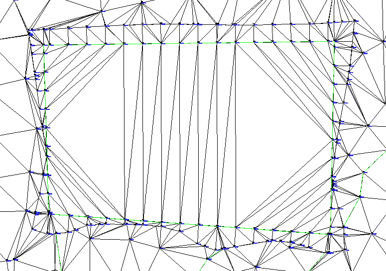
Example of an earthwork by platform elevation