Support
How can you obtain the proposed terrain in SUP format?
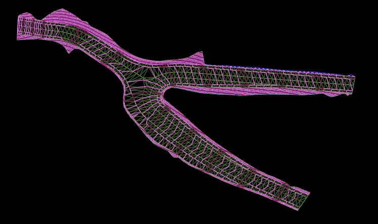
Once the segment is defined, you can obtain the surface, SUP, or the surfaces of the definition indicated in the cross-section type, both at roadbed level, subgrade, and at the finish elevation. Likewise, it can be generated independently for each of the defined layers.
By executing MDT/Surface/Obtain proposed terrain
Among the most significant aspects, in the OPTIONS sections you can DRAW the cross-section lines in 3D, obtain the SUP of the proposed merged with the Stockpile Selection or only the part affecting the proposed.