Support
What is a surface or triangulation in MDT?
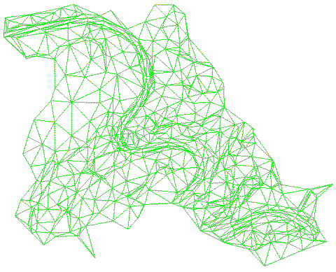
Obtaining the Digital Terrain Model (MDT) requires a prior process called triangulation. During this process, the surface is tessellated using a series of triangular planes that adapt to the relief and simulate the breaks or changes in slope that occur in the terrain, which are defined by the so-called break lines.
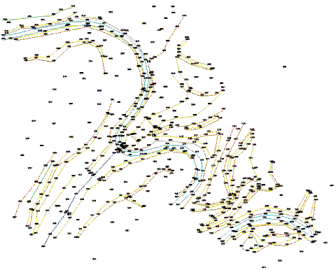
Triangulation can be obtained by different methods, the most common being from a point cloud. With every three points, a plane is generated, and these triangles retain a series of characteristic properties that have allowed the formation of the Triangular Irregular Network (TIN) in the point cloud, respecting the shape of the terrain.