tcpMDT
Drainage Network - MDT26
 | Command to execute in the CAD |
|---|---|
Vertical menu | MDT26 > Maps > Hydrology > Drainage Network |
Ribbon menu | Maps > Hydrology > Drainage Network |
Command line |
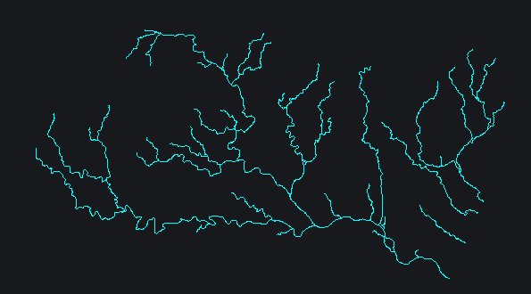
This command automatically extracts the surface drainage network from the depression-filled terrain model and flow direction files. A threshold is applied to determine which cells have sufficient catchment area to be considered a channel. A lower value generates a denser network with lower-order secondary channels; a higher value produces a more simplified network showing only the main channels.
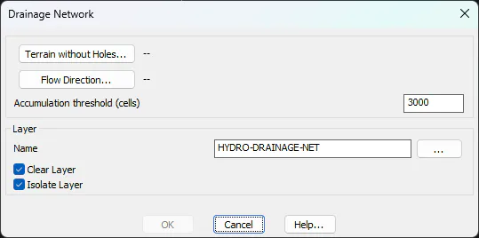
At the bottom of the dialog, you can choose the layer where the result will be drawn: a network of polylines representing the channels.