
tcpMDT
Terrain Viewer - MDT26
Terrain Viewer
After applying textures or orthophotos to the surface, we can move over it with a more realistic visualization or make routes following a horizontal alignment.
User Interface
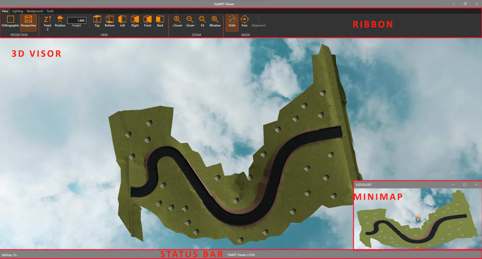
The application interface is divided into the following regions:
- Ribbon, divided by tabs and groups of commands. They allow you to perform various operations and configure the display.
- 3D viewer, where we can view and interact with the current surface and the different 3D models.
- Mini map, displayed as a floating window. It allows us to locate ourselves in the environment and control the position and orientation of the camera graphically.
- Status bar, which shows information about the current status of the application when an operation is being carried out on the 3D viewer.
View Menu
Projection
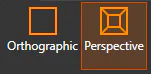
With these operations we can control the projection mode of the camera.
 Sets the current projection to orthographic.
 Sets the current projection to perspective.
View
