tcpMDT
Flow Direction - MDT26
 | Command to execute in the CAD |
|---|---|
Vertical menu | MDT26 > Maps > Hydrology > Flow Direction |
Ribbon menu | Maps > Hydrology > Flow Direction |
Command line |
This command calculates, for each cell of the model, which of the eight neighboring cells the water would flow towards following the maximum downward slope. The result is the previous and essential step to calculate the drainage network and delimit basins.
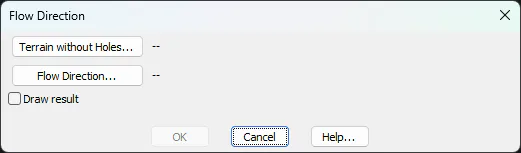
The Terrain without Holes... button allows you to select an input model created with the Holes Filling command. Using a surface with uncorrected depressions would produce cells with no defined flow direction. Once selected, the program proposes a file name to store the result, which can be changed with the Flow Direction… button. By activating the Draw result option, once the calculation is complete, a new window will appear in which you can choose the layer and the colors to be used in the rendering.
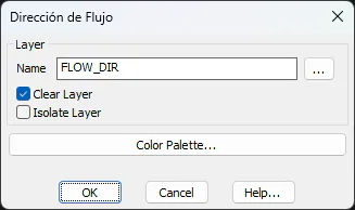
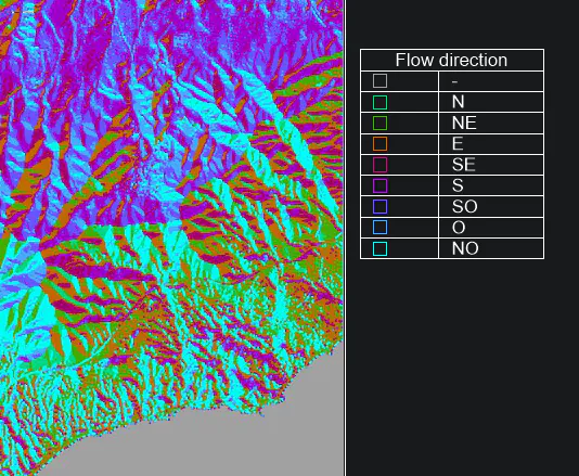
The result that is generated is a raster image and a caption that helps its interpretation.