tcpMDT
Label distances and elevations in profile - MDT25
11.33 Label Distances and Elevations in Profile
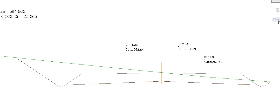
Using this option, we can label the distance from the alignment and the elevation of the designated point on the cross section drawn beforehand.
With this in mind, upon executing the command, the following window will appear which is described below.
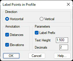
Direction: This allows us to indicate whether we wish to label the aligned texts horizontally or vertically.
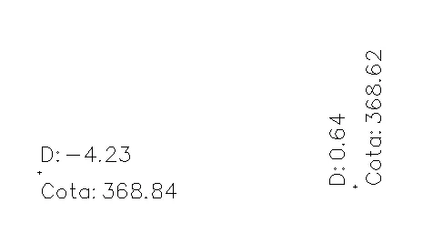
Annotation: We indicate whether we wish to label the station, the elevation or both.
Label Prefix: If we enable this box, in the case of the distance from the axis, the text "D:" will be labelled before the numerical value. and in the case of the elevation the text "Elevation:".
Text Height: We set the height to the texts to be drawn.
Decimals: We establish the number of decimal places both for the distance and for the elevation.
A screenshot can then be seen of a drawing of a given part of the cross section in which the distance from the axis and the elevation at different points appear labelled.