tcpMDT
[PRO] Earthworks by Embankment Foot - MDT26

Earthworks by Embankment Foot
 | Command to execute in the CAD |
|---|---|
Vertical menu | MDT26 > Surfaces > Grading > by Embankment Foot |
Ribbon menu | Surfaces > Grading > Embankment Foot |
Command line |
This command is equivalent to Earthworks by Terrain Elevation, with the peculiarity that only the platform and its slopes are generated where there is a fill volume. No cutting area is generated in the current surface.
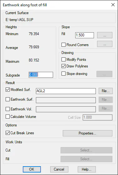
The first item of data requested by the program is a polyline that delimits the foot of the fill slopes. If the polyline is not closed, the direction toward which the slopes are projected is requested. The following dialog box is then displayed, which is similar to the Earthworks by Terrain Elevation command.
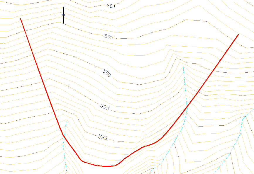
An image of the original terrain is shown in the illustration below. It contains a highlighted polyline that defines the fill foot boundary desired.
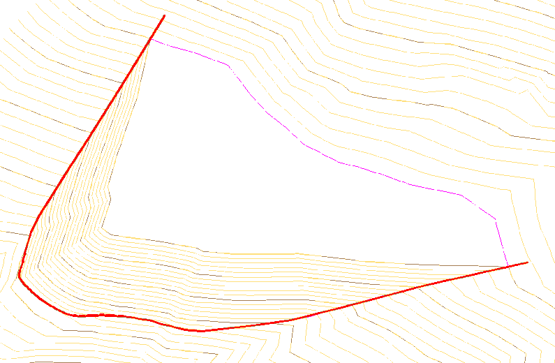
If the inside of the area defined by the polyline is defined as the slopes' direction with an elevation of 595, the following result is obtained. That is to say, from the polyline, a fill is generated that rises up to an elevation of 595, and later a platform horizontal to this elevation is created.